


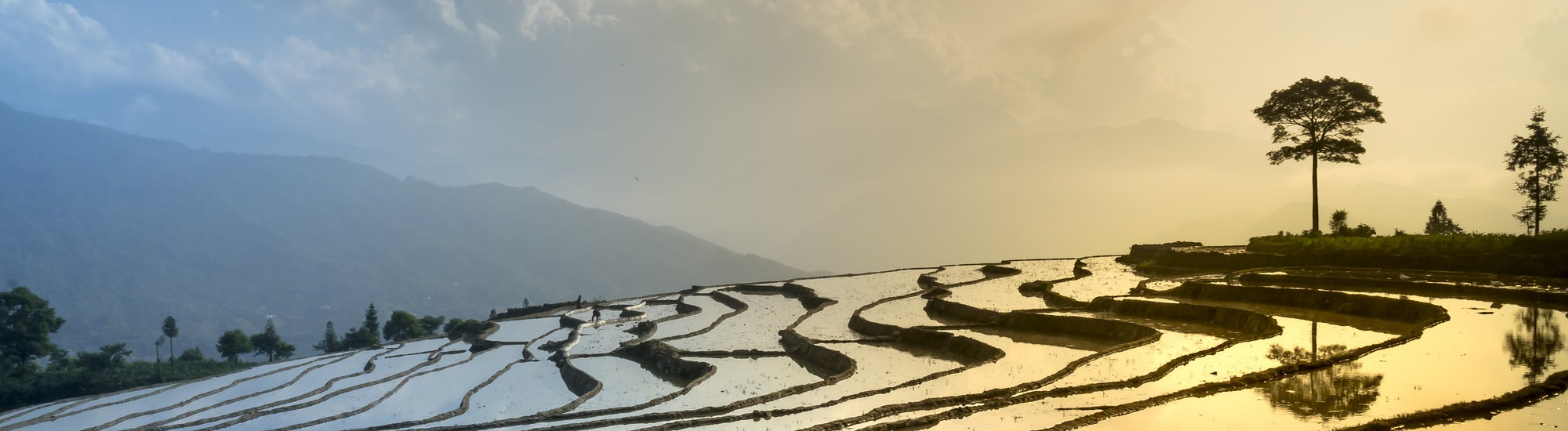
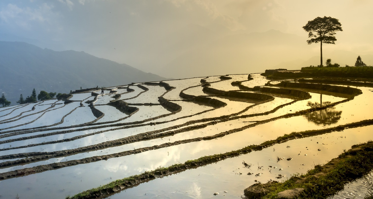
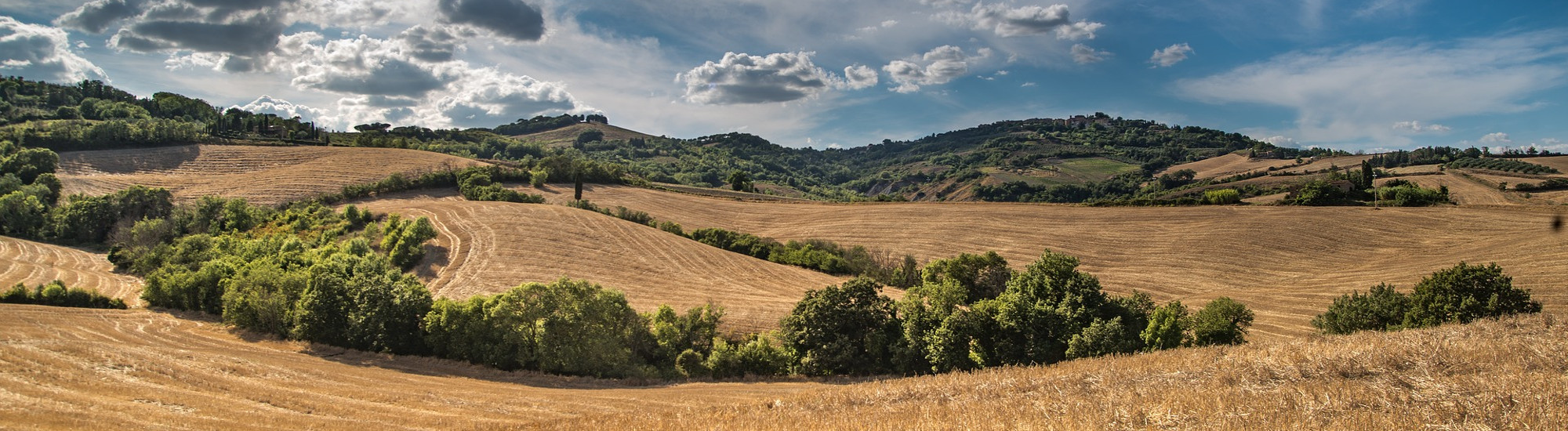
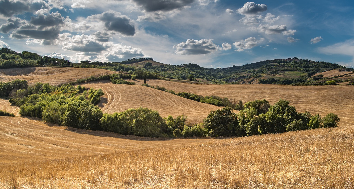


Global Monitoring
Two monthly global crop condition reports have been established within GEOGLAM. In 2013, directly in response to the G20 policy mandate, the monthly crop monitor for the Agricultural Market Information System was developed. Subsequently, building on the success of the AMIS monitor and realizing the approach could be applied to food security, the Crop Monitor for Early Warning (CM4EW) was launched in 2016. The tabs below lead to more information on these monitoring reports and the many partner initiatives that provide support to them.
GEOGLAM Crop Monitor, for the Agricultural Monitoring Information System (AMIS)
Crop monitor reports

About the AMIS Crop Monitor: The AMIS crop monitor was launched by GEOGLAM in 2013 as a direct response to the G20 Action Plan on Food Price Volatility and Agriculture. GEOGLAM provides a framework which strengthens the international community’s capacity to produce and disseminate relevant, timely and accurate consensus based forecasts of agricultural production at national, regional and global scales through the use of Earth Observations (EO) including satellite and ground-based observations. This initiative is designed to build on a consensus existing agricultural monitoring programs and initiatives at national, regional and global levels and to enhance and strengthen them through international networking, operationally focused research, and data/method sharing.
Within this framework, GEOGLAM developed the Crop Monitor reports which provide global crop condition assessments in support of the AMIS market monitoring activities. The first issue of the Crop Monitor appeared in the September 2013 issue of the AMIS Market Monitor.
Each month 44 partners come together with their own monitoring and in-situ observations to address discrepancies and create a consensus report. Because it is a consensus of all the best science based information plus on the ground experience the end product is considered to be the authoritative source of current global growing conditions, Consequently partnership are key to the entire process and several of our partner monitoring products can be accessed from the links below:

NASA Harvest: smart decision making for food security and agriculture
Visit NASA Harvest
China CropWatch Bulletin
Visit China CropWatch
UN FAO GIEWS - Global Information and Early Warning System
Visit FAO GIEWS
EC Joint Research Center Mapping Agricultural Resources (MARS)
Visit EC JRC MARS
USDA FAS Crop Explorer
Visit USDA FAS Crop Explorer
USDA Global Agricultural & Disaster Assessment System
Visit USDA GADASCrop Monitor for Early Warning (CM4EW) and Special Bulletins
While the AMIS Market Monitor and Crop Monitor reports focus strongly on agricultural production and markets in large producer countries, the methods for creating the Crop Monitor for AMIS reports have shown to be transferrable to food security applications. So building on the success of the AMIS monitors the methods were adapted and applied to countries at risk of food production shortfalls. First published in February 2016, the Crop Monitor for Early Warning monitors many countries not covered by the AMIS reports.
Each month 14 partners from the global food security response community come together with their own monitoring and in-situ observations to address discrepancies and create a consensus report. Because it is a consensus of all the best science based information plus on the ground experience, the end product is considered to be the authoritative source of current global growing conditions. Partnerships are key to the entire process and several of our partner monitoring products can be accessed from the links below:
NASA Harvest: smart decision making for food security and agriculture
Visit NASA Harvest
EC JRC, Anomaly Hotspots of Agricultural Production (ASAP)
Visit EC JRC ASAP
Famine Early Warning System (FEWS NET)
Visit FEWS NET
China CropWatch Bulletin
Visit China CropWatch
WFP Vulnerability Analysis and Mapping (VAM)
Visit WFP VAM
UN FAO GIEWS - Global Information and Early Warning System
Visit FAO GIEWSRangeland
Rangeland and pasture Productivity (RAPP)
Visit GEOGLAM RAPP