Results
 Madagascar Fire 75% (Overall winner)
 STREETS4ALL 71% (Second place)
 Deep Green Madagascar & SEEKU 65% (Equal third place)
Awards for the different categories
Societal Value Award: SEEKU and STREETS4ALL
Originality/Novelty Award: Wheel Ale
Use of GEOSS Reources and GEOSS relevance Award: Deep Green Madagascar and Madagascar Fire
Feasibility/Sustainability Award: Cloud Eater, Madagascar Fire and Wheel Ale
Usability/User Interface Award: Cloud Eater
Solutions (in alphabetical order)
By #ToDo
Challenge: Cloud Detection Game - Increasing the amount of classified data for machine learning
Description: Cloud Eater is a fun game in which the player controls a "cloud-eating" airplane on a Sentinel-2 satellite image. Their objective is to mark all the clouds in the picture. By competing against each other, players try to achieve the best cloud marking accuracy. Acquired label data from players is statistically evaluated and used for creation of machine learning training datasets.
Video: https://www.youtube.com/watch?v=Um8iIxWQKG4
Github link: https://github.com/mt-krainski/cloudEater
#ToDo team members: Csaba Jeger csaba.jeger@esa.int, Mateusz Krainski mateusz.krainski@esa.int, Patryk Mikulski patryk.mikulski@esa.int, Matej Poliacek matej.poliacek@esa.int, Marcel Stefko marcel.stefko@esa.int
By Deep Green Madagascar
Challenge: Protecting the forest
Description: Cloud based application for detection of deforesting using optical and sar data in near-real time.
Video: https://www.youtube.com/watch?v=0ORU2leimQA&feature=youtu.be
Deep Green Madagascar team members: Leonid Shumilo shumilo.leonid@gmail.com, Mykola Lavreniuk nick_93@ukr.net, Andrii Kolotii andrew.k.911@gmail.com, Bohdan Yailymov yailymov@gmail.com, Julia Korsunska jkors.00.jk@gmail.com
By Cloud Assasins
Challenge: Cloud detection
Description: Game for classifying clouds: 1) Opaque clouds: Clouds that are so dense that it is impossible to see through them. 2) Thick clouds: Medium dense clouds through which you can barely see the surface below. 3) Thin clouds: Almost transparent clouds through which you can easily see surface below. 4) Shadows: caused by clouds and those caused by surface terrain. Shadows may be on surface or on top of other clouds. 5) Land: All land areas that are not covered by snow or ice. This includes all types of vegetation, bare soil and man-made structures. 6) Water: all areas covered by water bodies (i.e. seas, rivers, lakes, ponds, etc.). 7) Snow.
Video: https://youtu.be/7BT7tVgD8bE
Github link: https://github.com/srikanthnagella/geoss-hack
Cloud Assasins team members: Nghia Vo nghia.vo@diamond.ac.uk, AmbroseP ambrosiobing@gmail.com, Srikanth Nagella srikanth.nagella@stfc.ac.uk
By Madagascar Fire
Challenge: Protecting the forest
Description: The goal is to provide a web application that allows park rangers in madagascar to easily report information about a recent fire. The web app provides a very simple and mobile friendly interface, allowing the park ranger to carry out their work in the field. Input parameters are provided as sliders with pictograms for easy understanding and inputting that also allows non-english speakers to use the interface. The app is coded in javascript and node js. Some server code is also in python. The full source code is in the github repository. The code needs some more refinement before actual use however, since this was done during a hackaton.
Video: https://www.youtube.com/watch?v=NvJHzTWQMtM
Github link: https://github.com/adrupen/madagascar_fire/
Madagascar Fire team members: Joakim Adrup joakim.adrup@esa.int, Christian Langer christian.langer@idiv.de
By Roots
Challenge: Protecting Biodiversity
Description: A mangrove monitoring platform to check endangered mangrove forests health.
Video: https://www.youtube.com/watch?v=EnEAptsnjOA
Roots team members: Louis Marechal - louis.future.marechal@gmail.com / Daniel Sackey - daniel.sackey@community.isunet.edu
By Seeku
Challenge: Connecting Arctic Voices
Description: Seeku is a concept mobile app, which aims at ensuring safeting in Arctic coastal activities by harnessing the power of spaceborne (Earth observation/geoos) and crowdsourced data. Structured in a user-friendly way, it aims at enabling easy interpretation of satellite data by providing information of safer locations regarding ice thickness for camp sites & other activities. The user can also locate and provide real-time info and share it across social media platforms.
Video: https://www.youtube.com/watch?v=6-bfPZeDG4c
Github link: https://github.com/AparicioSF/geosshack
Seeku team members: Aqeel Piracha aqeel.piracha@esa.int, Beatrice Sabatella beatrice.sabatella@esa.int, Lucandrea Mancini lucandrea.boston.celtics@hotmail.it, Mihkel Kaha mihkel.kaha@esa.int, Sara Aparício sara.aparicio@esa.int, Rene Eduardo Galindo Almendariz rene.galindo89@gmail.com
By BIBOX
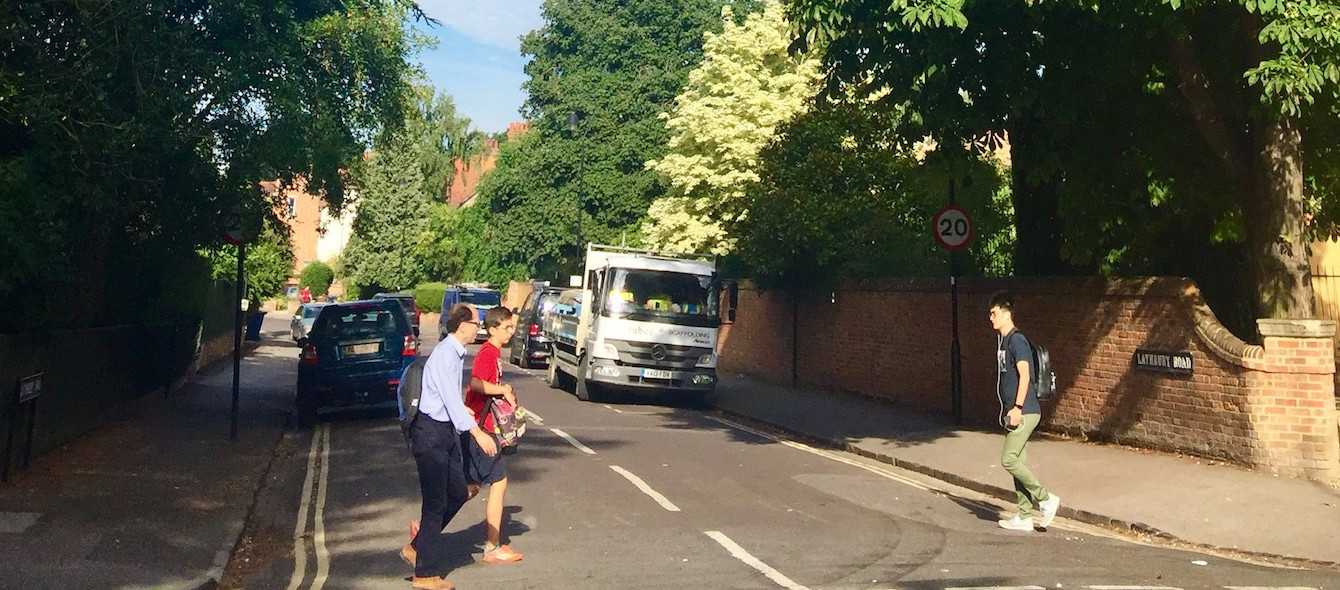
Challenge: Designing for accessibility
Description: A mobile application connected to an online platform. Users will be able to pin locations in a map , capture a photo and/or link to the real life street image by ESA, upload it and write a comment . There is the possibility for others to see and write their comments, A count of Pins all be immediately seeing in the online platform which will raise awareness to the public and will allow street planners to plan according to the critical challenging points for wheelchair users.
Video: https://youtu.be/6Ew-QwyfXnk
BIBOX team member: Liliana S. Giraud giraudliliana@gmail.com
By DAFNI
Challenge: Accessibility Challenge
Description: Web Platform for showing venues in an area and commenting on their accessibility.
Video: https://youtu.be/Xyw2oa_Sd4s
Github link: https://github.com/MostafaNabi/geoss2018
DAFNI team members: Mostafa Nabi mostafa.nabi@stfc.ac.uk, Chris Oliver, chris.oliver@stfc.ac.uk, James Hannah, james.hannah@stfc.ac.uk, Ma Maiqi, maiqima@molaes.co.uk, Paulette Elliot, info@huduma.co.uk
Follow us on: