(G)EOHack Mentors
Meet the (G)EOHack19 Mentors, experts from different fields including remote sensing, GIS, climate change adaptation and more, who will guide participants throughout the hackathon process.
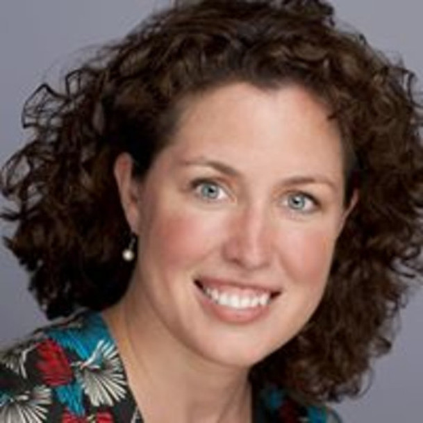

Margaret Gold is a Project Officer at the European Citizen Science Association on the WeObserve project, which is building an Ecosystem of Citizen Observatories for Environmental Monitoring. ECSA is a non-profit association set up to encourage the growth of the Citizen Science movement in Europe in order to enhance the participation of the general public in scientific processes, mainly by initiating and supporting citizen science projects as well as performing research on citizen science. Margaret combines 10 years in the mobile & web technology sector with 5 years of community building in Citizen Science - engaging the public in the transcription of digitally imaged specimen labels at the Natural History Museum in London, and in scientific research within the Citizen Cyberlab project. Margaret has an MBA from the Rotterdam School of Management at Erasmus University in the Netherlands, and an Honours BA in International Relations from the University of Windsor in Canada.
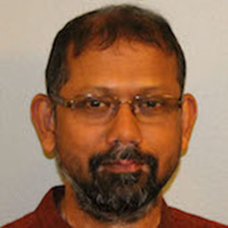

Dr. Manish Verma, CSCAR Consultant, University of Michigan.
Expertise: Spatial data analysis, GIS, terrestrial remote sensing, image processing, spatial statistics, programming in Python, R, Arc/Gis, and Matlab; applications to earth science, natural resources, and public health.
Bio: I am interested in geospatial science and its application for spatiotemporal analyses, policy, and decision-making. I have nearly fifteen years of experience in combining observations from multiple satellite and airborne sensors, vector data from secondary and primary sources, and models to monitor and understand spatiotemporal variation across a range of topics. My specific interests include geospatial analysis, image processing, location analysis, spatially distributed dynamic models, model inversion, radiative transfer modeling, signal processing, and nonlinear dynamics.
In my research and consulting I have analyzed a variety of data including remotely sensed data such as from MODIS, Landsat, AVHRR, OCO-2, AIRS, AVIRIS, and SRTM; vector data such as from Census, road network, FLUXNET, SURFRED, OzFlux, Phenocam, and weather stations; and gridded and reanalysis data such as from CMIP5, NCEP, NOAA, and NASA. I often combine multiple languages including MATLAB, R, and Python, extensively use ArcGIS and QGIS, and occasionally also turn to Mathematica and ENVI/IDL.
I have assimilated data across multiple spatial and temporal scales to bridge gaps in our understanding of small-scale processes and large-scale patterns. My domain knowledge includes remote sensing, mass and energy exchange between the land surface and the atmosphere, photosynthesis, carbon and water cycle, ecosystem ecology, and watershed analyses. I have set up and used instruments such as radiometer, spectrometer, gas exchange, and PAR sensors. A list of my publications is available at https://www.researchgate.net/profile/Manish_Verma21.
Before coming to research/academia I worked for more than a decade with non-governmental organizations promoting better and inclusive management of natural resources in ecologically fragile areas. I also worked as a consultant and advised several organizations including Oxfam, KfW, Winrock, and Aga Khan Rural Support Program. I love wild animals and go through phases where my enchantment skips from birds to reptiles to mammals. I like reading, cooking, seeking connections between abstract ideas and realities, and traveling with my spouse (Preeti) and my son (Aman).
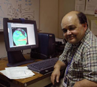

Dr. Jorge Vazquez, Scientist at NASA’s Jet Propulsion Laboratory/California Institute of Technology.
Expertise: Applying High Resolution Remote Sensing Data to Coastal Studies, Validation of satellite derived sea surface temperature data sets, development and analysis of climate data records, statistical modeling of remote sensing data, improvement in quality of sea surface temperature data records.
Bio:
Professional History:
- Project scientist for Salinity and Sea Surface Temperature for PODAAC
- Principal Investigator at JPL for the NOAA/NASA Pathfinder SST Project
- SST Pilot Project (GHRSST) Science Working Team. Chair of the Data Management
- Chair of GHRSST Applications and Users Services Technical Advisory
- Adjunct Faculty in Earth Science at Azusa Pacific University
- Visiting Scientist, Institute of Marine Science, Barcelona, Spain. Spanish Grant to apply remote sensing techniques to study the Mediterranean (1993)
- Guest Editor for Deep Sea Research for special edition on Satellite Oceanography and Climate change
- Guest Editor for Remote Sensing for Special Edition on Sea Surface Temperature Retrievals for satellites
- Editor Remote Sensing
Education:
- BS, Physics, University of Miami, with honors (1980)
- MS, Oceanography, Graduate School of Oceanography, University of Rhode Island (1983)
- PHD, Geological Sciences, University of Southern California (1991)
- Editor Remote Sensing
Selected Awards:
- NASA MANNED FLIGHT AWARENESS PROGRAM in recognition of excellence and support of the NASA manned space program and its mission payloads.
- Who's Who in Science and Engineering
- NASA Group Achievement Award for implementation of the Global Data Assembly Center
- National Ocean Partnership Award for Excellence
- NASA Group Achievement Award for the Physical Oceanography Distributed Active Archive Center.
- National Ocean Partnership Award for excellence supporting joint programs between NASA and NOAA.
Selected Publications:
- Gierach, M., J. Vazquez-Cuervo, T. Lee, V. Tsontos, Aquarius and SMOS detect effects of extreme Mississippi River flooding event in the Gulf of Mexico, 2013: Geophy. Res. Lett. 40 (19) 5188-5193.
- Vazquez-Cuervo, J., B. Dewitte, T. M. Chin, E. M. Armstrong, S. Purca, E. Alburqueque, 2013: An Analysis of SST Gradients off the Peruvian Coast: The impact of going to higher resolution. Remote Sensing of the Environment, 131,76-84.
- Armstrong, E. M., G. Wagner, J. Vazquez-Cuervo, T. M. Chin, 2012, Comparisons of regional satellite sea surface temperature gradients derived from MODIS and AVHRR sensors, International Journal of Remote Sensing, 33:21, 6639-665.
- Garcia-Soto, C., J. Vazquez-Cuervo, P. Clemente-Colon, and F. Hernandez, Satellite Oceanography and Climate Change: Introduction to Special Issue as Guest Editor, 2012, Deep Sea Research Part II: Satellite Oceanography and Climate Change, 77-80, 1-9.
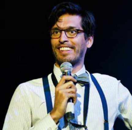

Georges Labreches, Founder of Open Data Kosovo (ODK).
A problem solver, entrepreneur, and the founder of the Balkan’s leading civic-tech organization: Open Data Kosovo (ODK). Georges holds a BSc in Software Engineering and an MA in International Relations so he constantly busies himself with ideas that merge technology, good governance, and social impact. He likes to play with satellite data and is currently concluding his MS in Spacecraft Design while working on solar arrays for a Mars rover. In his spare time he likes to get carried away with registering for space related MOOCs.
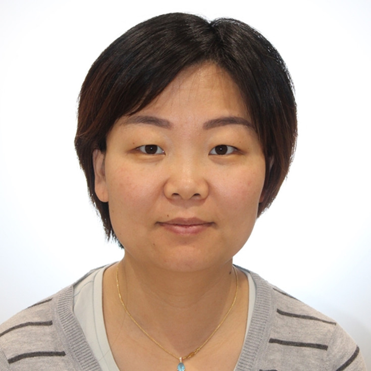

Dr. Jingbo Wang, Virtual research environment manager at National Computational Infrastructure, the Australian National University.
Expertise: high performance data application and data fusion in earth science/climate and weather/geophysics, graph knowledge of research footprint, scientific programming, data analysis, data management, data quality control, policy making, project management.
Bio: Jingbo studied seismology in University of Cambridge, followed by a post doc at Lawrence Livermore National Laboratory, during which she runs intensive computational geophysical modelling and inversions. Passionate with serving research data community, the move to data management is a nature fit. With opportunities, encouragement and helps from supervisors, colleagues, and friends, she made her career as a data scientist since 2012. She is currently engaging with research community by providing training on query and access research catalogue, data published through various web services. She is also interested in studying research and data products impact within the community using a research graph technique. In addition, she is an enthusiastic researcher seeking technical solutions on providing efficient data query and access and how to improve the performance using parallel computing and I/O on various data formats; and keeping track the footprint of the research journey through the funding-data-paper-researcher matrix.
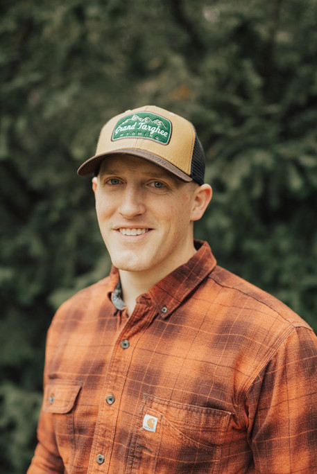

Mark Krumwiede, Teaching & Research Assistant for College of Environmental Studies, University of Alaska Southeast.
I spent 6 years in the U.S. Army, stationed both at home and abroad, where I came to understand the value of spatial analytics and problem solving. After leaving the military in 2016, I began seeking a B.S. in Geography with an emphasis in GIS from Utah State University which I received in the Spring of 2019. During my last year in school I was also working for the Logan City GIS Department helping to collect and analyze data ranging from street signage to storm drains and other public utilities. I was able to gain experience in many different data collection methods as well as expand my skillset using a variety of ESRI tools including teaching myself ArcPro. Immediately after graduation I began working as a Physical Scientist for the Naval Oceanographic Office at the Stennis Space Center in Mississippi utilizing real-time data collected from around the world to create useful and powerful products for both military and civilian clients. Starting Fall of 2019, I moved to Alaska to pursue an Outdoor Recreation approach to utilizing GIS and am now a Teaching and Research Assistant at the University of Alaska Southeast.
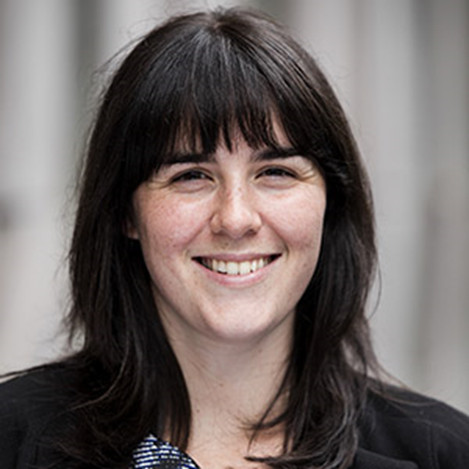

Caitlin Adams, Data Scientist, FrontierSI.
Expertise: Python, Jupyter Notebooks, statistics
As a Data Scientist at FrontierSI, Caitlin works on demonstrating how Earth Observation data can bring value to the Australian research, government and industry sectors. With a background in Physics, she loves problem solving in any format.
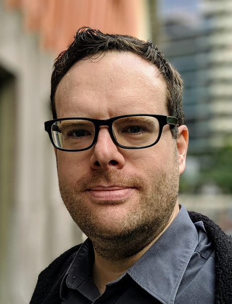

Andrew Hicks, Software Engineer, FrontierSI.
Expertise: Python, Open Data Cube, web mapping services
Andrew is software developer at FrontierSI, a spatial-focussed non-profit that brings together industry, researchers and government. He works on projects with UAV and satellite data, and was previously a developer on Open Data Cube, Digital Earth Australia and environmental catchment management.
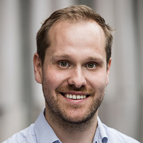

Chris Morgan, Agile Coach and DevOps Engineer, FrontierSI.
Expertise: Agile delivery, automation/DevOps, cloud computing.
Chris is an Agile coach and DevOps engineer with over 10 years of experience. He has worked in tech across development, support, agile delivery and DevOps. Chris is passionate about technology and loves to build, improve and find better ways to do things. He is FrontierSI’s in-house optimiser.
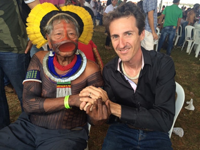

Durieux Laurent is a Geographer specialized in GEO-Technologies and in tropical environment monitoring and modelling.
He is currently an associate researcher at the Institute of Research for Development (IRD) inside the Espace-Dev Research Unit based in Montpellier, France. His research interest focus on monitoring tropical land surface processes using data from Earth Observing satellites. Author of more than 100 international scientific publications, he has recently published a book chapter on the need to evolve our approach on environmental issues from a sustainable development perspective towards a true coviability system defined as the union between the cultural and natural worlds, in other words the reconciliation between peoples and the biosphere very much inspired by indigenous communities with who he is collaborating for years. To achieve these objectives, he has developed more specifically advanced global methods of monitoring the environment by satellite that take advantage of the dozens of Earth observation satellites that fly over us each day associated with the new big data capabilities. Dr. Durieux was also the President of the South-American Association of Remote Sensing (SELPER International) from 2012 to 2014. Recently Dr Durieux was nominated by IRD head of mission on Artificial Intelligence and Big Earth Data for Sustainable Development Goals. The Goal of this mission is to participate to an international task-force inside the United Nations Science-Policy-Business Forum on the Environment to guide and support the establishment of a UN-backed universal digital ecosystem for planetary data, using frontier technologies. Based on the convergence of planetary observation data (ranging from spatial data to IoT devices), the analytical means of big data and artificial intelligence, this platform will give a new dimension to information access on the state of the environment for decision-makers and citizens. Dr Durieux is also a board member and head of the WeForest NGO scientific committee engaged in restoring the world forests.
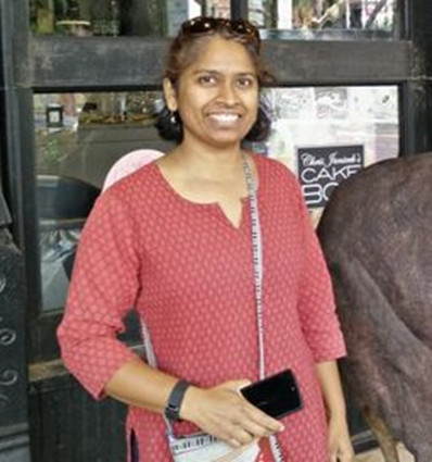

Dr. Preeti Rao, Research Associate & Lab Manager at the School for Environment & Sustainability, University of Michigan.
Expertise: data synthesis across multiple spatio-temporal scales, mentoring, collaborative research, and project management.
Bio: Preeti worked for 10 years in natural resource management in the Indian non-profit sector before going on to do a Masters in Geo-Information Science from the EU and PhD in Geography from Boston University. Her background is in applied research in the natural and urban ecosystems, and she has been applying geospatial analytics (GIS and remote sensing) across various themes for problem-solving and to inform policy. She is interested in geospatial data science and its application in coupled human-natural ecosystem processes, and environmental change. Her expertise and interests include data synthesis across multiple spatio-temporal scales, mentoring, collaborative research, and project management.
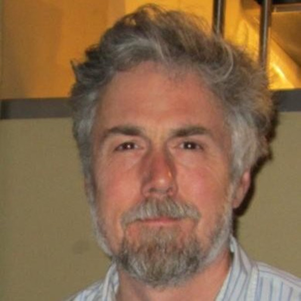

Brian Fuchs, CTO of the Mobile Collective.
Brian Fuchs is a developer and hacker. In his day job, he is Technical Lead at Eezylabs (https://eezy.ai), an AI-based life-planner. He is also CTO and Co-Founder of The Mobile Collective (https://mobilecollective.co.uk/) , where he helps citizen scientists and other hackers design and develop mobile applications for hackathons and citizen science projects. Previously, Brian was Co-ordinator of the Internet Centre (aka London e-Science Centre) in the Department of Computing at Imperial College, where he led several e-Science projects. His expertise is in iOS, Android, java, python, javascript, backend/cloud systems (AWS, Hadoop), c/c++, and arduino applications.
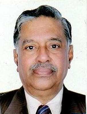

Dr. Paruthummootil Jacob Philip, Secretary, of the Institute for Sustainable Development and Research ,ISDR, India and Former Dean and Professor -, Department of Humanities and Social Science, National Institute of Technology, India.
Expertise: Social science, Humanities, Poverty and unemployment, Food security and ending hunger, Human-climate interactions, Mountain Agriculture, Agriculture Economics, Agriculture commodity production, Intellectual Property Rights (IPR)
Bio: Dr. P J Philip is Secretary of the Institute for Sustainable Development and Research ,ISDR, India, an organization having consultative status with the United Nations Economic and Social Council, UN-ECOSOC, UN-Habitat, UN-Environment, UNCTAD,UN-Ffd, UN-WCDRR,CFS-FAO-Mountain Forum, FAO GFAR,IPCC,IPBES,UNFCCC ,GACSA. He has experience of more than 35 years as a Dean, Head of Social Science and Humanities department and Department of Business Administration as well as Professor in Skill Development ; Social science and Humanities ; Finance and planning etc. at National Institute of Technology , Kurukshetra, India .He has a multi-disciplinary academic background with qualifications in humanities and Social science , Management and Law (MA, MBA, LLB, PhD). Dr.Philip is also associated with several national and international NGOs working for sustainable development including – Institute For Sustainable Development and research ,ISDR,India ; Muktainagr Taluka Education Society, Muktainagar; Open University geological Society,OUGS, Switzerland and ISDR-MTES-NIT-OUGS-UNMDGs Implementation center ,Muktainagar and UN-ECOSOC partner organizations in Asia-Pacific region.
He was a Coordinator of the IPR Cell of the National Institute and has undertaken two sponsored projects of the Ministry of Human Resource Development, Govt. of India. He was also involved in drafting an IPR Policy for the National Institute and has organized a number of workshops, seminars, and conferences on IPR.He has organized and participated in several training programs on social science, Humanities , Human –environment interactions , poverty alleviation, food security , climate smart agriculture , social –economic rehabilitation of victims in disaster region , Sustainable development goals , climate change adoptions and mitigations socio-economic- cultural development of the disadvantaged communities , international community exchange programs in association with NGOs and CBOs . He has organized training program for graduate students in European countries focusing on Consumer rights, Social and economic aspects of Trade communities, Agriculture commodity marketing management ,Social housing , unemployment and related problems, climate smart agriculture, relief and rehabilitation of disaster victims etc . . He has represented the institute in the meetings and programs of the United Nations Framework convention on climate change and the intergovernmental panel on climate change . Dr.Philip has organized several programs in Asia-Pacific and Europe region on implementation of Sustainable development Agenda of the United Nations . He has coordinated the International study visits on Global climate change, disaster management, Himalayan studies and urban sustainability. He was invited for a lecture in Copenhagen Climate Change Conference-“Climate Change, Global risks, challenges & decisions,'' Copenhagen 10-12 March, 2009, University of Copenhagen, Denmark for the preparatory process of The 2009 United Nations Climate Change Conference, commonly known as the Copenhagen Summit, was held at the Bella Center in Copenhagen, Denmark, between 7 and 18 December. The Copenhagen conference included the 15th Conference of the Parties (COP 15) to the United Nations Framework Convention on Climate Change (UNFCCC) and the 5th Meeting of the Parties (MOP 5) to the Kyoto Protocol.
He was also invited by the United Nations center for trade Development to deliver a lecture on Ending Hunger and Poverty through Agriculture commodity management at Geneva, Switzerland in 2010. He was invited by FAO for participation in Mountain Forum. Dr.Philip is involved in organizing sessions on Water and agriculture at World Water Forum, Mexico ,Istanbul and Brazil. He is Author for the EC-DRMKC flagship report on "Science for Disaster Risk Management 2020 –Acting today, Protecting tomorrow" of Disaster Risk Management knowledge Center, European Commission, DG Joint Research Centre – Disaster Risk Management Unit, Ispra, Italy.
Dr. Philip is also associated with several national and international NGOs working for sustainable development and UN-ECOSOC partner organizations in Asia-Pacific region. Dr. Philip was invited for scientific and sustainable rehabilitation of marine and coastal resources during the Indian Ocean Tsunami disaster in 2004. He has participated in the Regional assessment process for the IPCC, UNFCCC and COP in Asia-Pacific region. He has organized several international seminars on Marine and Ocean conservation, Biodiversity management of Marine areas organized by UNESCO-IOC, International Tsunami Partnership, The International Surface Ocean - Lower Atmosphere Study (SOLAS) project and Earth System Governance -a global research alliance, is the largest social science research network in the area of governance and global environmental change. Currently he is organizer of Session on “ Policies and Strategies for Ocean and Marine Governance: North-South participation for Economic and Social development of Coastal Regions (E2-Marine policies and strategies)” during the Fourth Xiamen Symposium on Marine Environmental Sciences Which will be held at Xiamen University, China, on Jan 6-9, 2019 (http://mel.xmu.edu.cn/conference/4xmas ). Dr.Philip was invited by the World Meteorological Organization, Geneva Switzerland to make a presentation in Technical Workshop on Enhancing ocean observations and research, and the free exchange of data, to foster services for the safety of life and property, ocean Safe ,5 - 6 February 2019, Geneva, Switzerland organized by WMO- UNESCO-IOC Joint Technical Commission for Oceanography and Marine Meteorology.
He has published about thirty papers in journals and conference proceedings on the socio-economic development, industrial labor issues, poverty alleviations and self employment problems , technology for social and economic upliftment of the communities and other allied subjects focusing on human rights. He has organized sixteen workshop/seminars and attended about fifty conferences on social, economic, financial and environmental disciplines including climate change, agriculture and forestry development , Poverty and skills development, disaster management , climate resilient societies and vulnerability in Asia- Pacific, Africa ,Europe and America region.
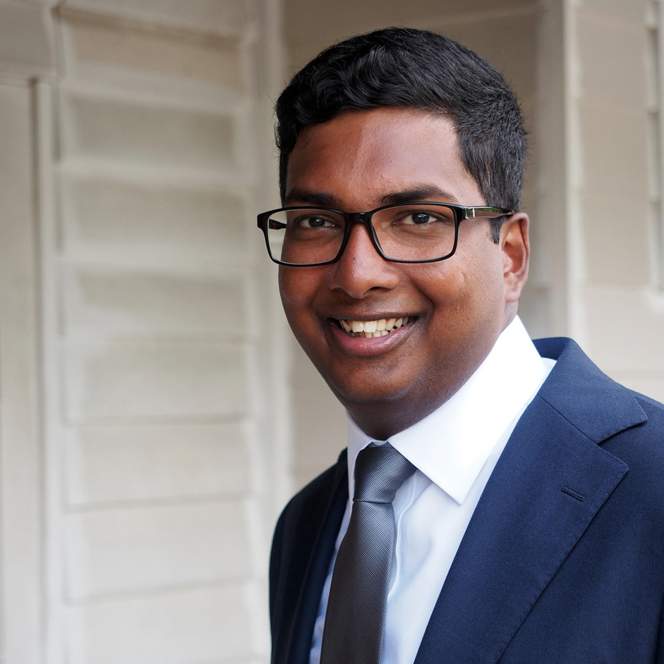

Gee Fernando, Professional services consultant, Esri Australia.
After graduating with honours as a Civil Engineer from the University of New South Wales, I started my career working as a Project Manager for the Capital Works team with Transport Canberra. I delivered multiple projects ranging from construction, information technology and policy changes. Meanwhile, I became increasingly interested in data and the benefits of data-driven insights to inform decision-making in my work. As a result of this, I moved into the Innovation and Data Analytics team and began to lead innovation initiatives within the ACT (Australian Capital Territory) government and build solutions that streamlined business practices. This experience consolidated my love for helping businesses through data and technology. Currently, I work as a professional services consultant for Esri Australia and enjoy the opportunities to help a wide range of clients using Esri Technology, with a strong focus on using Web-GIS solutions.


Mark Broomhall, Assistant Director for calibration and validation for Digital Earth Australia.
Mark Broomhall is the assistant director for calibration and validation for Digital Earth Australia. Mark has a PhD in satellite remote sensing, a Masters in satellite laser ranging and a graduate physics degree. Mark has worked at Curtin University on terrestrial, atmospheric and marine remote sensing projects, with a heavy emphasis on field retrievals of spectral information. At Curtin University, Mark developed geophysical products to measure suspended sediment, atmospheric dust and aerosol optical depth. Mark’s work at Curtin sparked an interest in radiative transfer, atmospheric correction and producing vivid true colour satellite imagery.
Before starting at Digital Earth Australia, Mark worked at the Bureau of Meteorology (BoM) on satellite nowcasting applications from geostationary satellites, specifically rainfall, convective initiation and storm tracking. At the BoM, Mark made extensive use of NCI resources, and worked with software engineers who develop highly optimised code to run on the 10 minute data available with Himawari-8.
Mark’s current job allows him to indulge his interest in shiny new technology such as drones, hyperspectral sensors, Lidar and to develop new and innovative techniques for validation of satellite remote sensing products.
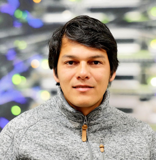

Nigel Rees, Research Data Management Specialist, National Computational Infrastructure.
Nigel works as both a data manager and data scientist for the National Computational Infrastructure (NCI) at the Australian National University (ANU). He completed a PhD in Geophysics at The University of Adelaide in 2017, which focused on using the magnetotelluric method to monitor subsurface fluid movement. He currently works on improving the performance of Geophysics and Earth Observation data sets for effective and efficient access in high performance computing and high performance data environments. He also plays a major role in the online publications of large Earth and environmental science reference datasets.
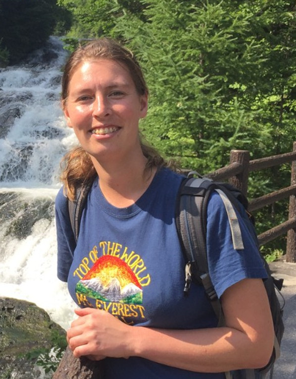

Savannah McGuirk, PhD student at CUAVA.
Savannah is a PhD student researching soil carbon remote sensing at CUAVA (the ARC Training Centre for Cubesat’s, UAV’s and heir Applications). Savannah has experience flying large and small UAV’s for fun and research. Savannah developed a strong interest in remote sensing during her undergraduate studies and research at ANU, in the fields of geography and geomorphology.
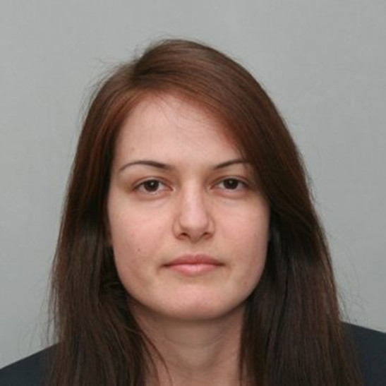

Nikolina Mileva, Space data researcher .
Nikolina has a degree in Geographical Sciences from Utrecht University. She has experience in the applications of Earth Observations for agriculture monitoring and nature conservation. Nikolina has also worked for the European Space Agency on the harmonization and fusion of EO data from different optical sensors on-board the Sentinels missions. .


