


The value of open Earth Data: Report from the Landsat program
News / 21 June 2019
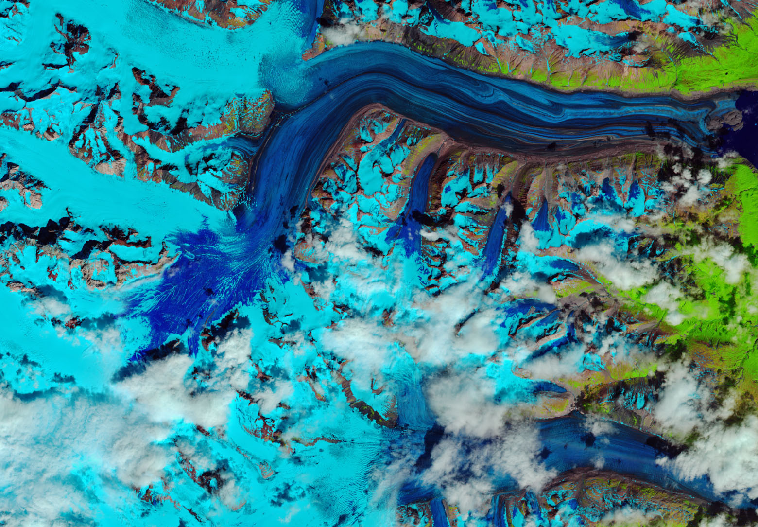
Since 1972, the Landsat series of satellites is the longest running civilian Earth observation programme. The images from the Landsat satellites provide a unique perspective on our changing planet. Currently, our capacity of measuring tropical deforestation, assessing agricultural areas, and understanding environmental problems has its basis on the work started by Landsat.
Since 2008, images from the Landsat satellites are available openly from the archives of the US Geological Surveys. Currently, thousands of experts worldwide make use of this unique resource, as the world finds common cause in dealing with the climate crisis.
A new report from the National Geospatial Advisory Committee (NGAC), ‘Evaluation of a Range of Landsat Data Cost Sharing Models,’ sheds light on the value of open and shared data from the Landsat program.
The report presents several findings that are relevant for the Earth observation community and strengthens the global call to keep Earth observation data free and open.
Most notably, the Landsat Advisory Group asserts that, “charging a fee for Landsat data will generate little net revenue.” The report also suggests that, “charging a fee for Landsat data will result in negative economic impacts to the U.S. commercial remote sensing satellite and value-added industries.”
This report echoes similar findings published last month in the Journal of Remote Sensing of Environment, that open data has accelerated science and the development of applications.
Earlier this year, Ivan B. DeLoatch, the Executive Director of the Federal Geographic Data Committee, U.S. Geological Survey, U.S. Department of the Interior, spoke to GEO about the role of free and open data.
“Key goals of the Group on Earth Observations are to promote open data and data sharing principles. The Landsat program, over its long history, has set global expectations for the availability of free high-quality imagery, and sparked a wave of commercial activity based on this opportunity.”
“We are pleased that the National Geospatial Advisory Committee recognized this valuable contribution in their most recent recommendations. This approach is fully consistent with the growing emphasis on open data, both within the United States and globally. We look forward to continuing to work with our partners on open data, open algorithms, and open science initiatives.” Ivan DeLoatch
The report discusses the value of keeping data freely available for researchers and the public, and the opportunities and benefits for operational and scientific communities.
Download your copy of the report here.
Follow us on:


