


LIVE STREAMING from GEO Week 2019! Earth Observations for Disaster Risk Reduction
News / 30 October 2019
Tune into the Live Stream from GEO Week 2019: Earth Observations for Disaster Risk Reduction on Monday, November 4th from 14:30-16:00. Learn more about reducing disaster risk, and the methodologies provided through the EO4HA framework of connecting data scientists to humanitarian decision makers. We invite participation and innovation in this growing movement, and appreciate new opportunities to demonstrate these strategies for reducing risk.
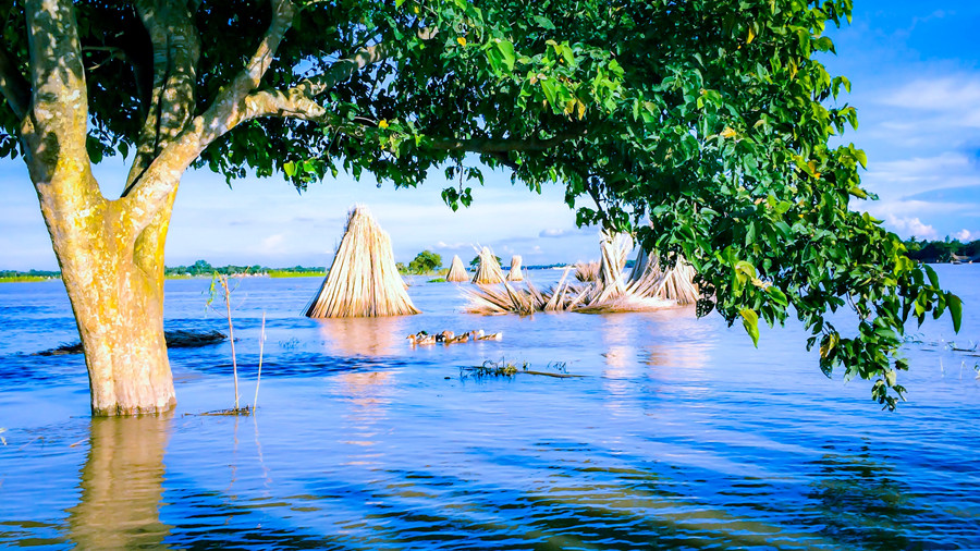
Floods have affected more people than any other type of disaster in the 21st century, and over half the disasters that occur annually are hydrologic in nature. Earth observations (EO) have a proven value in identifying the presence of floods as they occur – where floods are located and who they are impacting.
While satellite-derived imagery has advanced the understanding of flood extent as an important element to disaster response and recovery strategies, an often missing element is that of risk reduction and early action. And though the concept of risk is discussed frequently in the EO community, the ability “to visualize risk from space” remains relatively undefined in its approach.
The NASA GEO Flash Flood Risk project seeks to clarify approaches to understanding risk through a three year NASA Disasters Program funded project, led by Columbia University’s International Research Institute for Climate and Society (IRI), including partners Red Cross, University of Chicago, Penn State, University of Oklahoma, and NASA. Observing where floods are occurring and where they have occurred in the past – and also analyzing change over time – is an important aspect of understanding risk of future flood events; however, it is only a single element of a complex system of geophysical and socioeconomic analyses.
Additionally, not all flood types are created equal. In particular, flash floods, which can occur outside of traditional basins and away from coastlines, pose particular spatial and temporal challenges to understanding impact. Therefore, this project aims to address some of the challenges of understanding which areas – and when – on a global scale may reflect an increased risk of impact from flash floods captures both the geophysical and socioeconomic elements of flash flood risk.
This project is also part of a wider movement – Earth Observations for Humanitarian Action (EO4HA) – to move from simply developing and disseminating data, towards the collaborative development and integration of evidence-based science linked to specific decisions – specifically within the humanitarian community where the protection of lives and livelihoods are a primary objective. EO4HA supports interdisciplinary approaches – utilizing climate scientists, data scientists, and social scientists - that can provide translation that connects both science and society in practical and actionable ways.
It also offers methodologies for Sendai focal points to approach risk, and ultimately more accurately report towards the reduction of risk via the Sendai Framework for Disaster Risk Reduction national indicators. Additionally, this project aligns with a number of Geo Work Programmes and Community Activities, including GEO DARMA, GEO GLOWS, GLOFAS and GEO for Sendai Monitoring to further extend good practices towards risk reduction into other focus area.
Learn more about the GEO Week Key Side Event: Earth Observations for Disaster Risk Reduction Monday, November 4th from 14:30-16:00 here.

Andrew Kruczkiewicz is a faculty lecturer within the Climate and Society graduate program, part of The Earth Institute. Andrew also holds a position as Science Adviser for the Red Cross Red Crescent Climate Centre. Additionally he is Co-lead for the UN Inter Agency Standing Committee (IASC) Standard Operating Procedures for El Nino and La Nina Episodes and is on the advisory board for the African Risk Capacity River Flood Model. He is a Principal Investigator on NASA Grant #80NSSC18K0342, Towards a Global Flood & Flash Food Early Warning Early Action System Driven by NASA Earth Observations and Hydrologic Models and on NASA Grant #80NSSC18K1693: COMPAS: Connecting Earth Observations to Decision Makers for Preparedness Action in the Rohingya Refugee Camps.

Dr. Shanna N. McClain is the Program Lead for Risk Reduction and Resilience with NASA Earth Science Division’s Disasters Program. Her work involves defining NASA's role in resilience through the development of projects in fragile and crisis-affected areas, and by identifying opportunities to integrate Earth observation data into humanitarian action for improved understanding and management of risk. Shanna is also a Visiting Scholar with the Environmental Law Institute, where she provides research, policy analysis, and decision support to issues on environmental migration and displacement, and environmental conflict and peacebuilding. She continues to work extensively with the Joint UN Environment/UN OCHA Environment Unit, focused on the integration of environmental considerations in sudden-onset and protracted humanitarian crises. Additionally, she is an appointed expert on the UN Office for Disaster Risk Reduction’s Global Assessment Framework. Shanna holds a PhD in Environmental Resources & Policy from Southern Illinois University.
Follow us on:


