.


Open Earth observations for sustainable urban development

News / 11 February 2020

A new discussion paper prepared by AidData and the Group on Earth Observations explores the role of open Earth observations for sustainable urban development.

Urban sprawl in Shanghai. The image shows the level of urban growth at five year intervals from 1985 to 2015. WSF-Evolution uses six million satellite images from the US Landsat 5 and 7, to create a novel dataset outlining the settlement extent globally and at a yearly intervals. Credit: ESA.

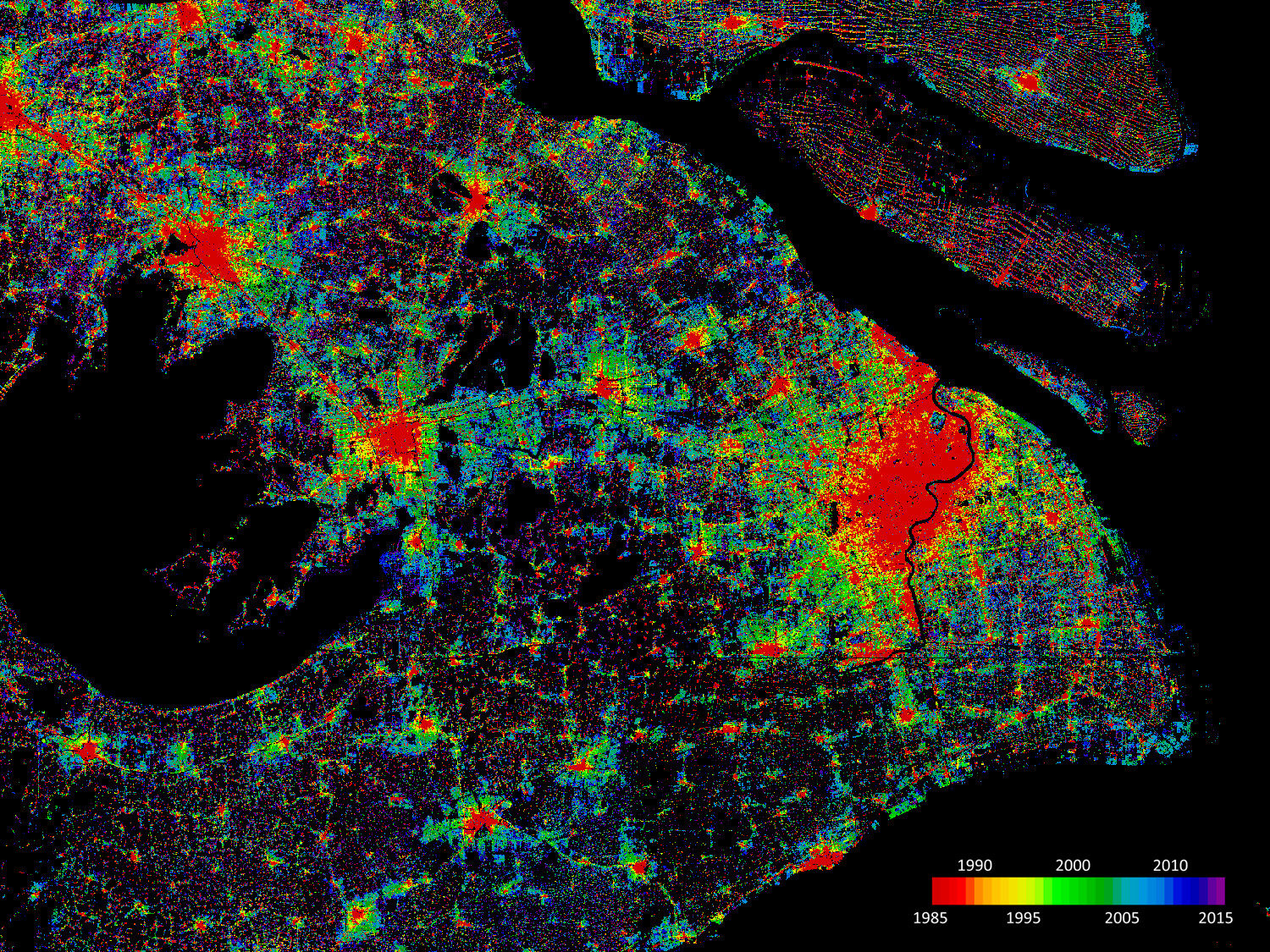
Prepared for UN-Habitat’s World Urban Forum in United Arab Emirates, this paper concentrates on examples where Earth observation (EO) data can complement or enhance traditional data sources for cities and urban areas.

According to the United Nations, nearly 70% of the world’s population will live in cities by 2050. Ensuring sustainable urban development will be key for urban planning, land management and the timely achievement of the SDGs and the New Urban Agenda.

Download your copy of the discussion paper here.

For general inquiries or questions related to the paper please contact: Mihir Prakash (mprakash@aiddata.org)

For activities of GEO: Steven Ramage (sramage@geosec.org)

For questions about GeoQuery: Seth Goodman (sgoodman@aiddata.org)


What's New

Read more here


Follow us on: