


Visit the newly enhanced GEOSS Platform with improvements from project EDGE
News / 7 September 2020
The European Space Agency (ESA), in coordination with the Italian National Research Center (CNR-IIA), the European Commission (EC) Directorate-General for Research and Innovation and Directorate-General Joint Research Centre and in close collaboration with many GEO stakeholders, have come together to provide a major contribution through project EDGE to the Group on Earth Observations System of Systems (GEOSS) with several improvements now available in the GEOSS Portal.
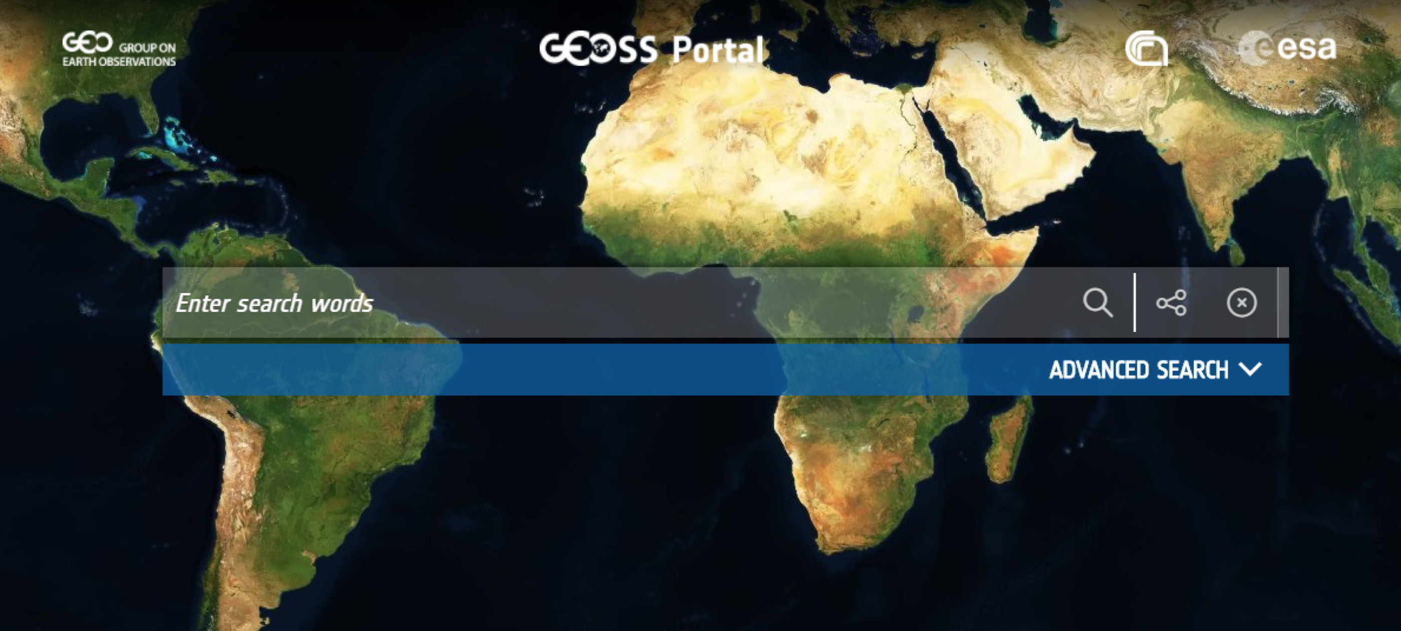
The GEOSS Portal, implemented and operated by ESA, is a unique web-based entry point to access Earth observation (EO) resources from all over the globe. The GEOSS Platform was enhanced following a user-centric approach involving relevant stakeholders via a series of dedicated workshops (e.g. GEO Data Provider and User Community) and direct connections. In total 40 scenarios and over 100 requirements for evolving the GEOSS Platform and GEOSS at large were identified.
”A user-centric approach is key to innovation of GEOSS and the various prototypes and proofs of concepts will help further evolution of GEOSS to become more results-oriented,” said Joost van Bemmelen, from the European Space Agency.
Together with the GEO Discovery and Access Broker (GEO-DAB), implemented and operated by the Italian National Research Institute of Atmospheric Pollution (CNR-IIA), the Yellow Pages, implemented and operated by the University of Geneva, and the Status Checker, implemented and operated by USGS FGDC, is all part of the GEOSS Platform which aims to connect users with EO resources. This contribution was co-funded by the European Union’s Horizon 2020 research and innovation programme under grant agreement No 776136 via the ESA-managed project EDGE which started 1 October 2017 and finished 31 May 2020. GEO stakeholders involved in the activity include GEO Members, Participating Organizations and others active in the GEO Work Programme.
Based on this requirements collection, a range of new EO resources are now accessible to users. In the last two years, 33 new data sources have been connected and another 22 have been updated. In addition, new access protocols have been implemented and graphical visualization (the GUI) was enhanced – e.g. with icons, panels, layers, maps. Filtering based on sophisticated and community-specific search criteria via views has been evolved, with tools for developers introduced (e.g., APIs, Widgets and Mirror Sites), user feedback mechanism improved, coupling with social media and collaboration mechanisms to enhance engagement with users.
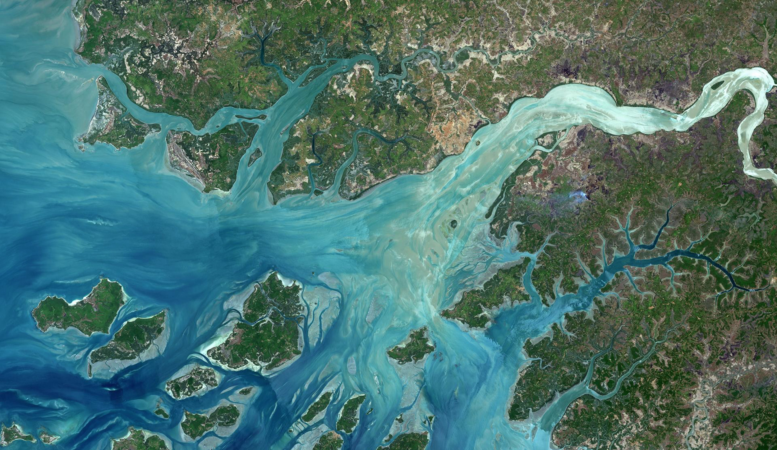
In particular, in situ data were targeted to complement the already extensive satellite-based collection of datasets. The GEOSS Platform currently connects 192 data sources, with 83 of them providing non-satellite datasets, and other 74 providing both satellite and non-satellite datasets.
Various proofs of concepts were implemented, experimenting service execution with selection of public cloud-based analytical platforms (e.g. DIASs, AWS) and navigation through linked (context) information. A significant example worked out the SDG 15.3.1 indicator on the proportion of land that is degraded over a total land area. It was computed using a workflow orchestrator (i.e. VLAB ) that selected, via the GEOSS Platform, the necessary: input data (sub-indicators), algorithm and analytical platform were to execute the workflow. This scenario was implemented in close collaboration with the H2020 GEO Essential project.
On behalf of the team, we would like to thank the many users who supported the definition of scenarios and validation of improvements which led to enhancements that are really responding to their needs: The results are a key input to the GEOSS Infrastructure Development Task Team (GIDTT) that is coordinating further evolving of the GEOSS Infrastructure to become more knowledge oriented.
Relevant information regarding these results can be obtained from the EDGE documentation as follows:
Please check out the enhanced GEOSS Platform at www.geoportal.org
Follow us on:


