Blog / Bente Lilja Bye & Marie-Francoise Voidrot / March 5, 2019
The United Nations 2030 Agenda for Sustainable Development and its associated Sustainable Development Goals (SDGs) can only be met through the use of data and information based on Earth observations. Although this type of data and information already supports the SDGs, its full potential has yet to be exploited.
The newly-launched NextGEOSS* data hub and platform will facilitate the fast and scalable transformation of Earth observation data into actionable information and knowledge across all 17 SDGs.
European Commission supported NextGEOSS Platform now open for public use
Copernicus, Europe’s eye on Earth, is a major contribution to the Group on Earth Observations (GEO) and the Global Earth Observation System of Systems (GEOSS), providing vast amounts of open data about the Earth for European citizens and global communities.
The European Commission funds activities that transform Copernicus data to actionable information. One of these activities is NextGEOSS, a centralised European Earth observation data hub and platform, where the users can access data and deploy applications. NextGEOSS aims to bridge the gap between data and other types of resources.


Now open for public use, the NextGEOSS data hub enables users to easily explore European Earth observation data and services, and the platform services empower developers to build their own R&D or commercial applications with dedicated tools and support.
External users can benefit from the tools being used to develop NextGEOSS’ internal pilots, a suite of next generation technology, when building their own Earth observation-based applications and services. The solution is cloud agnostic, so users have flexibility to deploy their processing to any cloud providers.
GEO community to benefit from new resources
There are several ways for the Earth observation community to make use of the NextGEOSS resources, which are built on top of existing open source software for data and cloud infrastructure management (e.g. CKAN and OpenNebula). The following services are now available:
Each of these services allow full protection of the Intellectual Property Rights (IPR) of the researchers and developers.
Read more about the different services on the ‘NextGEOSS Join Us!’ page and learn how GEO communities can create more visibility for their data and applications so that others can reuse or otherwise benefit from them.
User integration and support facilitate platform co-design
Providing new services and technology are not enough to transform Earth observation data into actionable information - an engaged community contributing to system design is equally important.
The integration and support processes that enable new and existing partners to contribute to NextGEOSS have been carefully developed, based on experience and feedback gained through internal NextGEOSS pilots. Various training and capacity building activities, including the NextGEOSS webinar series, have been integrated in the process.
NextGEOSS welcomes new collaborators and users to make use of and contribute to our services and technology.
About the authors

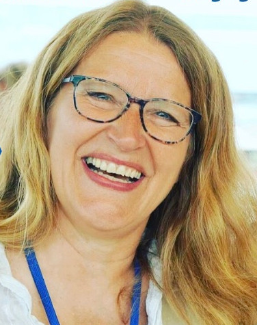
Bente Lilja Bye has been a member of the GEO community since 2004, engaged both as representative in the GEO plenary, in committees and contributing to the GEO Work Programme, and currently represents Norway on the GEO Programme Board. Bente runs a small research and consultancy company, BLB, focusing on transforming Earth observation data to information and knowledge for societal benefit. She is responsible for Communication, Dissemination and Assessment as partner in NextGEOSS. *NextGEOSS is a H2020 project funded by the European Commission under GA 730329.

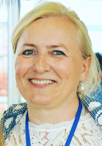
Marie-Francoise Voidrot is responsible for planning and managing interoperability initiatives such as testbeds, pilots and interoperability experiments with an emphasis on activities in Europe. Prior to joining OGC, Marie-Francoise was Senior Project Manager for numerous meteorological information systems with Meteo-France and for major customers in spatial, defense and aeronautics. Marie-Francoise serves as member of the GEO Programme Board and the GEO Secretariat Expert Advisory Group. She is responsible for Engagement representing OGC in NextGEOSS.
Thank you for your subscription to the GEO Week 2019 mailing list.