


Blog / Agne Serpytyte / March 19, 2019
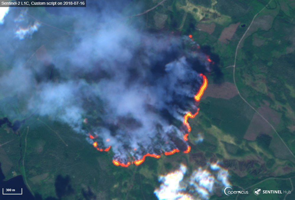
In the world with a changing climate, disaster patterns are changing and intensifying. We are experiencing more and stronger hurricanes, forest fires in uncommon areas that spread vigorously throughout the year, prolonged droughts and widespread flooding. Earth observation applications for emergency management are becoming increasingly important.
Disasters strike indiscriminately, but disaster mitigation, preparedness, response and recovery calls for different approaches in high and low income areas. The European Union’s Civil Protection Mechanism enables an internationally coordinated response. Under this mechanism, French firefighting aircraft can extinguish forest fires in Spain, while experts in Italy prepare satellite-based flood maps for Sweden. There are numerous other stories of responders working 24/7, 365 days a year to support international disaster risk reduction efforts.
Despite this international collaboration, not every country has equal capacity to deal with an increasing number of disasters, nor do they all have their own space programme to support disaster risk management efforts. When combined with an increasing difficulty for international aid organizations to cater adequately to all those in need, we have large numbers of the most vulnerable populations at risk of losing their lives or livelihoods when disaster hits.
Earth observation satellites orbit the Earth without border restrictions, and can help bridge the emergency management capability gap between high and low income countries. The data they collect, combined with tools and services that turn data into information for decision makers, can contribute to better results at all stages of the disaster risk reduction cycle.
The Copernicus Emergency Service (Copernicus EMS) - one of many services provided by Copernicus - has a suite of tools to support disaster risk reduction and emergency management for users around the world. These include:
![2018 October earthquake and tsunami in Indonesia: grading map of Palu city show that almost over 37,000 people, 10,000 buildings and other infrastructure were affected (Copernicus EMS © 2018 EU, [EMSR317] Palu: Grading Map)](images/articles/201903_copernicus_palu_earthquake_and_tsunami.jpg)
In our changing world, we need to change too. With the global, free and open Copernicus EMS tools addressing every stage of disaster risk management, a more effective, efficient and integrated response becomes possible.
Questions? Write to support@copernicus.eu
Follow: @CopernicusEMS

Agne Serpytyte works with the Copernicus Support Office, managing communications and promotion of the Copernicus Emergency Management Service.
Follow us on:


