Blog / Steven Ramage / August 5, 2019
In my experience of attending FOSS4G over the years, not only is it a meeting place for a number of likeminded individuals, but it's also a forum for multiple communities including Open Source Geospatial Foundation (OSGeo), Open Geospatial Consortium (OGC), the Group of Earth Observations (GEO) and others. Typically what happens is we all come together and discuss successful projects, the use of open source geospatial software, open data and products, then we all go home with some new contacts and richer in knowledge. Then some people write about it.
This year, I wanted to pre-empt some of the writing and as such, here are some highlights of our upcoming GEO 101 Session at FOSS4G that is highlighting the role of open data in Earth observations. Below you can read about some scientific advances in streamflow forecasting, the new e-shape project from the European regional GEO and avenues for participation in the (G)EO hackathon for youth and indigenous communities:


The (G)EO Hack 2019 is an innovative hackathon that is engaging Indigenous Communities at the interface of traditional and scientific knowledge that will take place during GEO Week in Canberra, Australia from 4-9 November 2019. The hackathon is being managed by Diana Mastracci with support from the GEO community.
The hackathon will address EO-based challenges and will be co-designed by indigenous youth throughout the world. The goal is to encourage the co-development of innovative EO-based applications that are locally relevant and enhance the communities way of learning. It will promote the use of open EO data among indigenous communities and ultimately to co-design locally relevant free and open source software. This will result in new means for aligning local/ traditional knowledge and science co-production across cultural and generational lines.
Julia Wagemann, on behalf of the GEO Global Water Sustainability Initiative (GEOGLOWS) partnership will present on Streamflow Forecasting and how it aims to change the current approach for how streamflow information is created and disseminated.
Traditionally, each water organization was required to have the expensive infrastructure and capacity to access large global datasets and develop their own models to forecast streamflow useful for decision-makers. Using the GEOGLOWS global streamflow services they no longer have to have their own internal infrastructure for modeling, but instead can access the streamflow forecasts through web services and use them according to their own prioritized needs.
This freely provided streamflow information, which leverages the hydrometeorological computational expertise of the GEOGLOWS partnership, saves millions of dollars and allows national and local agencies to use precious resources for developing solutions and applications specific to their local water resources management needs.
While she cannot join us at the FOSS4G event, we also wanted to highlight the work of Dilek Fraisl and the European Commission Horizon’s 2020 funded WeObserve project.
The International Institute for Applied Systems Analysis (IIASA) is leading a Community of Practice on the UN SDGs and Citizen Observatories Community of Practice (SDGs CoP) and is chaired by Dilek Fraisl. The Sustainable Development Goals (SDGs) CoP is currently undertaking a research effort together with the UN Environment to identify the current and potential contribution of citizen science to SDG monitoring by looking at the landscape of citizen science initiatives and map them against the SDG indicators, targets and goals. Considering that we lack data to achieve the SDGs, the results of this research project will help us understand the concrete data contribution citizen generated data is already making and could make to monitor the SDGs.
Finally, Valentina Balcan will join FOSS4G to present e-shape and PARSEC and the business opportunities that Copernicus enables.
Copernicus data is provided on a free, full and open access basis and as such, is an invaluable asset for both established and new businesses. EU funded projects such as e-shape and PARSEC aim to support developers and entrepreneurs through open access to knowledge, technology, capital and markets. e-shape endeavours to build capacity across the whole value chain for the exploitation of EO data and services, as well as to boost application sustainability. PARSEC aspires to provide start-ups and Small and Medium Sized Enterprises (SMEs) with the necessary resources to develop and launch their own EO based ideas into the market.
As you can see, we have some really interesting and useful information to present at our GEO 101 session at FOSS4G. We invite you to join us to learn more about the GEO, the GEO Work Programme and potential avenues for collaboration.
We look forward to seeing you in Bucharest from 26-30 August!
About the author

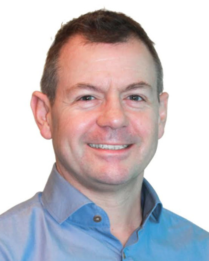
Since 2016 Steven Ramage has been leading global stakeholder engagement and external relations for the Group on Earth Observations (GEO). He tweets as @steven_ramage
Thank you for your subscription to the GEO Week 2019 mailing list.