


Blog / Diana Mastracci / August 12, 2019

In this interview, Diana Mastracci talks to Gordon Ikayuak Brower, Iñupiat subsistence whaling captain and sea ice expert from Utqiaġvik, Alaska on the use of Earth observation (EO) data in Arctic communities.
Diana and Gordon co-designed the “Sea Ice Citizen Science Project” for science students at the Barrow High School in 2014. Gordon is the Director of Planning for the Planning Department at the North Slope Borough of Alaska and a lifelong Arctic resident.
Gordon was also part of the jury for the challenge “Connecting Arctic Voices” that he co-designed for the GEOSS/HACK competition last year.
Diana Mastracci: How can EO data help to strengthen traditional forms of knowledge?
Gordon Ikayuak Brower: I think we are in a learning curve right now, acquiring new skill sets to work with in-season ice, instead of the multiyear ice that we were used to for decades and decades and that we have relied upon to be constant.
It’s going to help reinforce traditional forms of knowledge, because we don’t have the last generation around anymore to convey the traditional knowledge of the past. We are the ones now, contemporary users, dealing with change and we are now acquiring a new set of skills, a new traditional knowledge that we are going to have to pass on, if the trend continues like this, to the next generation.
In the future they will say: ‘Oh this generation in the 2000s dealt with a major shift in change in ice regime and they were diligent and observed very well, including using modern technologies, to look at the characteristics of ice, its habits, its changes, its duration, its extent. And they have acquired the needed skills to continue traditional hunting in this changing environment and now it’s going to be poised to be used on into the future as we collect it as new traditional knowledge.’
DM: Can you tell us how you are using EO data in your community and some specific environmental and societal challenges that you face than can be addressed using EO data?
GYB: I grew up in the 70s and 80s and the traditional knowledge that I acquired was based on data from the 1920s to the 1960s, when in the Arctic there was a very stable, heavy, steady ice regime.
It’s kind of like we have turned the page here, and we are working with a lot of more open water situations. And we are trying to see what tools we can use to try to find ice.
I have [subsistence] hunters that text me and say: “Can you send me an ice map to see where the ice has shifted?”
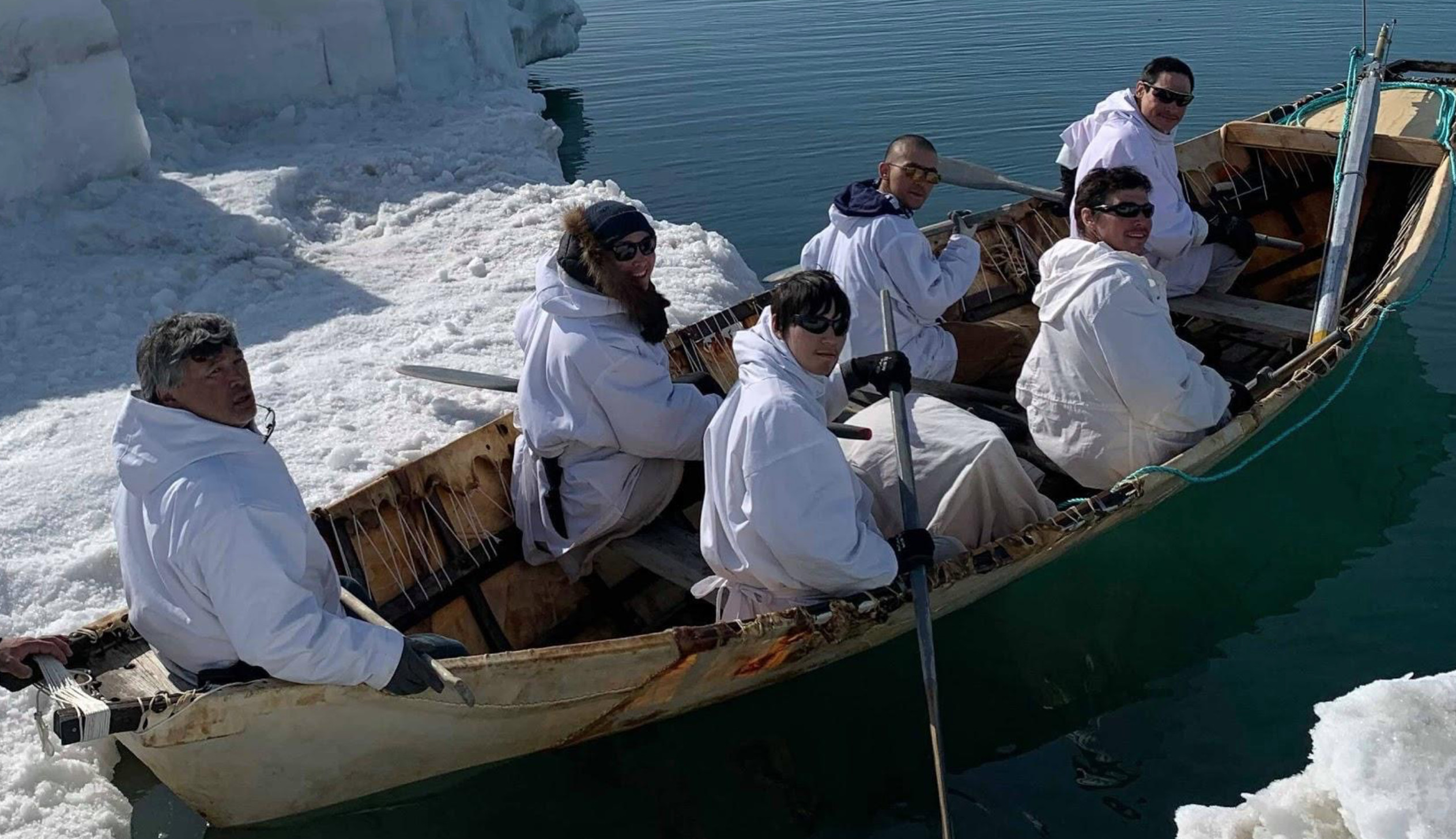
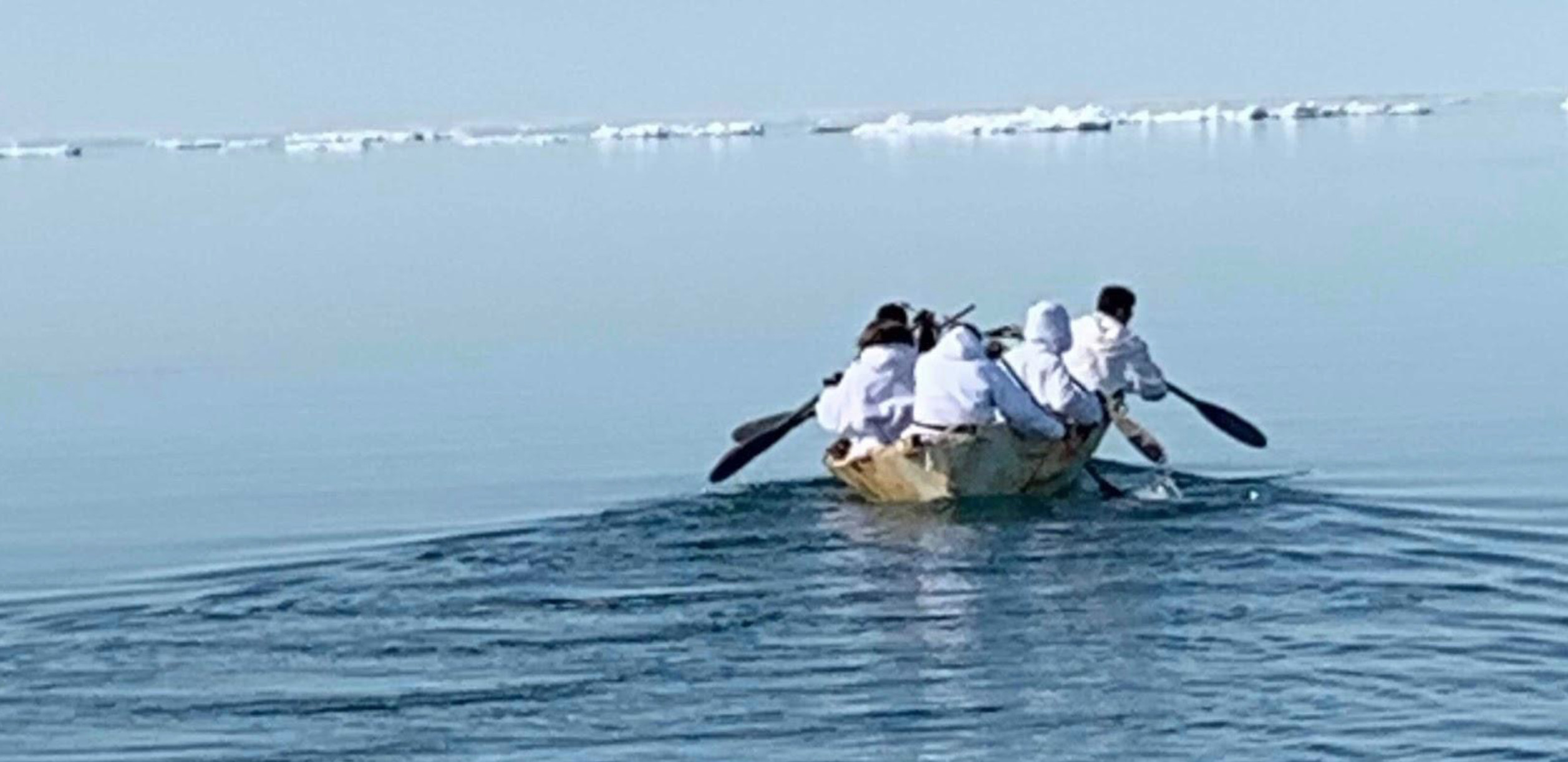
This year there was a lot of open water, the leads opened up so far early on. I have never seen it like that quite frankly. When you have a 15-mile-wide open lead early in the spring, it’s difficult, it’s dangerous, it gets swelly real quick. It’s important to note that because of these changes, we are trying to adapt very heavily in using modern tools to continue our traditional ways.
DM: What EO data do you use?
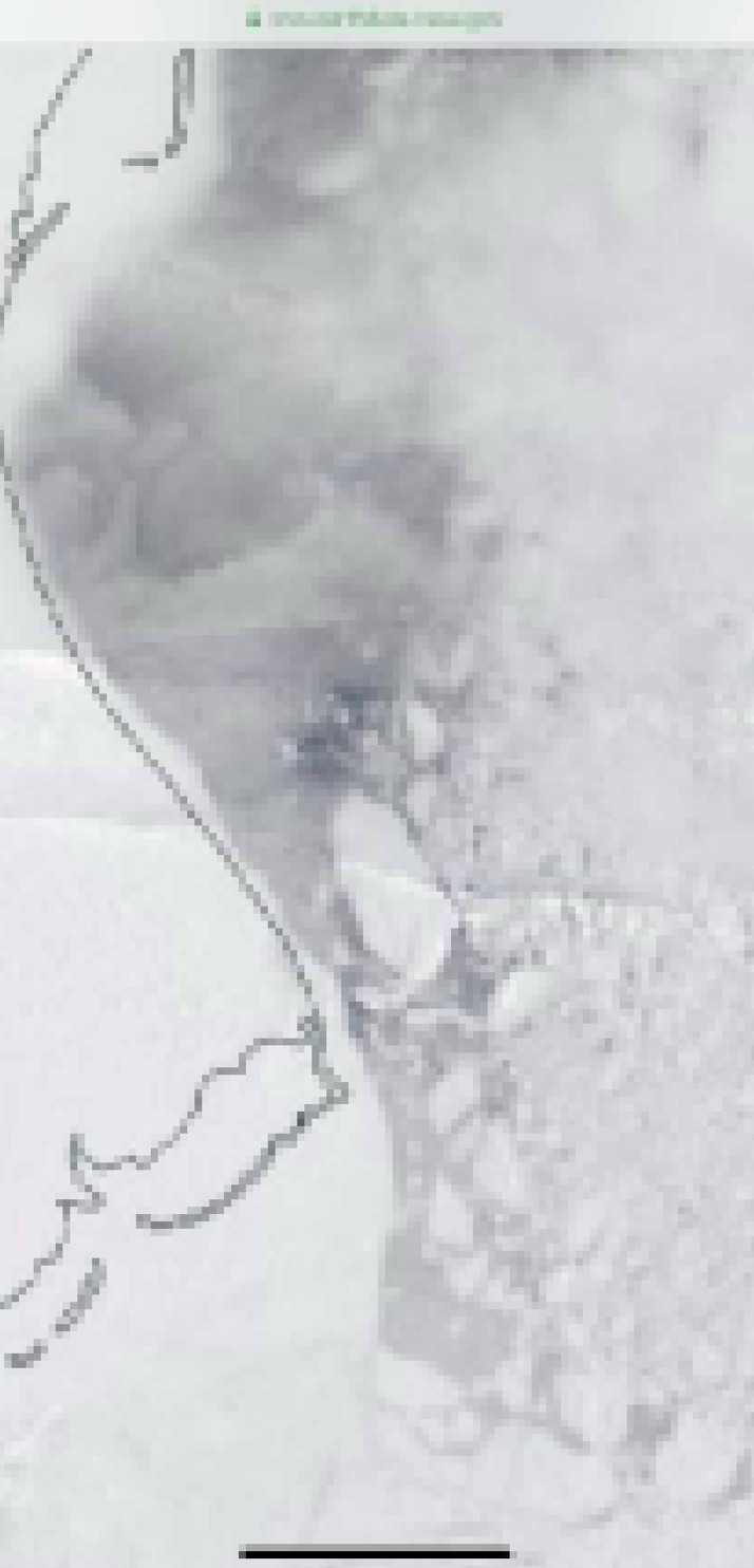
GYB: I got this link, EarthData.Nasa.gov, from the weather bureau maybe 8-10 years ago it has near-real time satellite images, it’s called Rapid Response. It gives you an option to look at certain areas.
I am glad I got it because the weather bureau doesn’t do very much anymore up here, and we have to kind of use online tools ourselves to try to look at the Arctic. I use that one and it has various filters that you can change to highlight or even try to look through the clouds but it’s not that effective though. But when it’s clear, it’s pretty awesome!
DM: What are the technical barriers to using EO data and how did you overcome them?
GYB: It has so much gadgetry on it, it gets confusing how you have to maneuver it to get to the right image you want. It takes a little while to work in it, but once you figure it out you can get the image you want. But you have to know about it. Sometimes when a hunter asks me about it, then I have to go into details like:
“Go to this site, go to this section, select subsection, press the Arctic and then draw a box around the area you want to look and then filter it with either Aqua or True Color, or Infrared or some other filter and then try it. And then you select a scale, like 1-250….”
So things like that, you have to figure out different ways to get the best resolution. It’s kind of time intensive. If you were using it out on the ocean you would have to fiddle with that whilst you are out on the ice. But if there were a much more advanced process, then you wouldn’t have to do all these [maneuvers] then you could just say: “These are the ice conditions today!”. You also have to wait till the satellite comes over. This one picks up at around 4pm here, then you can get the actual days visual or you have to use the previous day visual.
DM: Do you share EO data with other subsistence hunters?
GYB: I do. When I am hunting I try to get a snapshot of it, then I post it on my Facebook, most of the hunters are connected to me on Facebook. They look at this stuff from Wainwright all the way to Point Hope. They might not have the capabilities to access the [satellite] images, but they can see a picture. So I snap a picture [of the satellite image] and post it with a comment:
“This is today’s ice and it looks like a huge pan is coming through and I would advise the whalers to use this pan ice as a shelter to hunt near and around this pan, because its large enough to calm the ocean once it comes by.”
And it would be like a 5-miles wide by 15-miles long piece of ice just moving across slowly. And when you can see that as a visual it provides a lot of security on the environment that you are in. I usually try to share the images through Facebook when I can. It’s important to try to do that, because maybe the rest of the hunters are less fortunate than I am, and they might not be able to have internet access when they are out on the ice. It becomes a health and safety issue.
DM: How important do you think it's going to be for young people to use EO data?
GYB: I suspect that for young people it’s going to be basically life, health and safety.
Back in the 1970s, 1980s I didn’t have a GPS, I knew the terrain. I knew how to travel long distances without using a GPS, to look at the snow conditions and the prevailing winds and then sometimes I used a compass and looked out for landmarks.
Today, maybe 80% or more of the Elders have been consumed by time, they have passed on, and many young people are acquiring new skills sets and endeavoring to use modern technology with traditional knowledge, in the same way that we used traditional knowledge without those tools, and they are being effective in doing that.
Technology is not going to go away, instead it’s going to be heavily embraced going into the future.
DM: Do you have anything else you would like to add on the use of EO data for Indigenous communities?
GYB: I do know that we have high speed internet now with fiber. It goes from Prudhoe Bay to Barrow to Wainwright to Point Hope on into Nome. Faster internet, terabytes type of information/capacity has reached the Arctic now. I think there is going to be a fundamental shift in internet availability and strength up here, which will enhance the capability to look at how it influences traditional knowledge acquiring information needs for life, health and safety up here. It was pretty cool that I could do some of the queries of the ice maps out on the ice. I don’t know how far it can extend as our lead was pretty close this year, like 1 mile and ½. In the past we would have been as much as 15-20 miles out in the ocean camping, that’s how stable the ice was in the past. Nowadays the lead can be as close as 1 mile to 2 miles.
Get involved and learn more about the upcoming (G)EO Hackthon in Canberra, Australia on the website here.
Gordon Ikayuak Brower:
Gordon Ikayuak Brower, is a lifelong Arctic resident and an Inupiaq Subsistence Whaling Captain. He has been working in the Planning Department of the North Slope Borough for 24 years where he is currently the Director of Planning. Gordon is also Chairman of the NS Port Authority, Chairman of Region 10, a local fisherman, a mitigation advisory Committee Chairman and has been a member for over 20 years of the Federal Subsistence Advisory Council. Additionally, he has also served as the permitting and zoning manager from 1999-2004. He has six children and lives in Utqiaġvik, Alaska with his partner Sharon Miller.

Diana Mastracci is a researcher at the University of Oxford passionate about finding creative ways to maximize the impact of current technologies to empower social change initiatives among indigenous communities. She has co-designed, together with the Arctic youth, Elders and scientists’ various innovative hackathons and citizen science projects at the interface of traditional and scientific knowledge. She has conducted fieldwork amongst the Iñupiat community in the Alaskan Arctic as well as with the Nenets reindeer herders in the Russian Arctic.
She has worked at the European Space Agency, NASA’s Jet Propulsion Laboratory, the University of Oxford, Citizen Cyberlab, was a visiting scholar at the Cartographic Research Centre at Carleton University and a visiting student at St. Petersburg State University. Diana holds an MA with joint Honours in Social Anthropology and Russian from the University of St Andrews, an MSc in Biodiversity, Conservation and Management from the University of Oxford and a Diploma in Documentary Filmmaking from the EICTV in Cuba.
Follow us on:


