


Blog / January 15, 2020
The Group on Earth Observations (GEO) supports Digital Earth Africa (DE Africa) as part of the GEO Work Programme to advance the use of open Earth observation (EO) data across the African continent.
Leveraging the regional African Group on Earth Observations (AfriGEO) network, GEO is assisting in the area of capacity development to ensure that satellite, in situ and other geospatial data is integrated, accessible and effectively used by decision makers across Africa.
The DE Africa programme is currently in the establishment phase and is working with partners to provide decision-ready data on issues ranging from flooding to droughts, including information on soils, coastal erosion, agriculture, forests, mining and human settlements. This will enable policy makers, scientists, companies and civil society to address development challenges and develop an ecosystem for innovation across sectors.
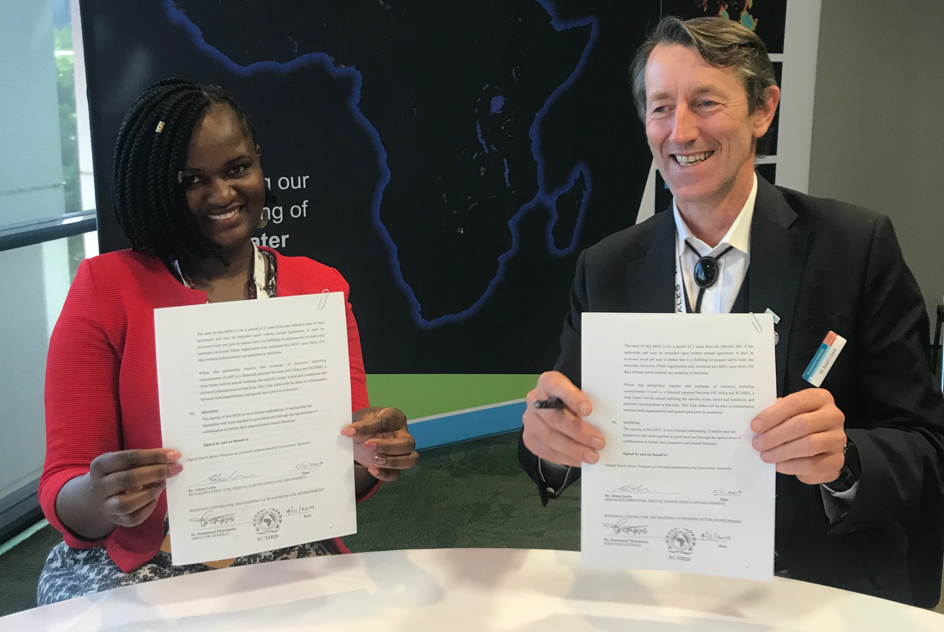
“We are excited to announce these new partnerships. They are an essential element of DE Africa to help achieve uptake of our products and provide access to civil society, research, private sector and governments at country and continental levels,” says Managing Director Adam Lewis.
GEO’s Capacity Development Working Group is assisting DE Africa as they scale up training and build capacity across Africa. In addition, the AfriGEO host organization, the Regional Centre for Mapping of Resources for Development (RCMRD) in Kenya, has joined DE Africa as a partner.
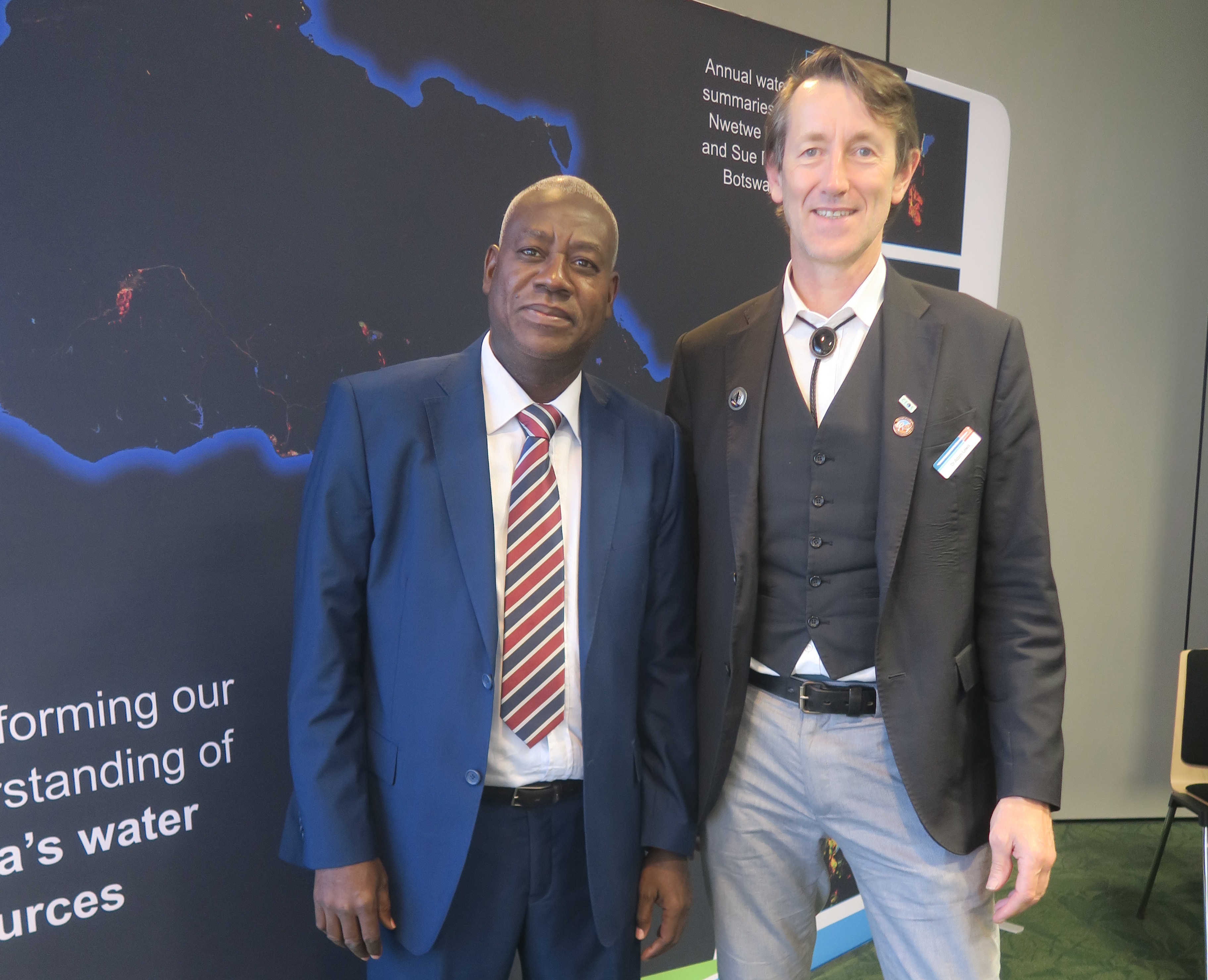
Director General for RCMRD, Dr Emmanuel Nkurunziza, said the decision to collaborate with DE Africa was based on the strong alignment of both parties’ core missions of more informed decisions on environmental and development issues using geospatial information.
“RCMRD can offer great opportunities for countries across the continent to engage with the DE Africa program and build knowledge and skills in using the platform to better understand our natural resources. We have several core projects delivering data and outcomes that align with DE Africa and we are also hosting the AfriGEO programme, which will have complementary objectives,” said Dr Emmanuel Nkurunziza.
DE Africa has announced several other collaborative partnerships, including with AGRHYMET Regional Centre in Niger and the Faculty of Geo-information Science and Earth Observation (ITC) at the University of Twente in Netherlands. These collaborative partnerships will provide expertise, skills and human resources necessary to operate, apply and sustain new geospatial infrastructure across Africa.
“We’ve sought to partner with DE Africa to leverage from the free and open analysis ready data it will provide, while providing engagement opportunities for technical capacity building and training with West African countries,” said General Director for AGRHYMET, Dr Souleymane Ouedraogo.
“ITC will provide the principles, tools and methodologies for capacity development, drawing from the capabilities within Africa, as well as our regional expertise through our extensive network of partnerships and alumni to implement those approaches,” said Professor Dr Tom Veldkamp from the University of Twente.
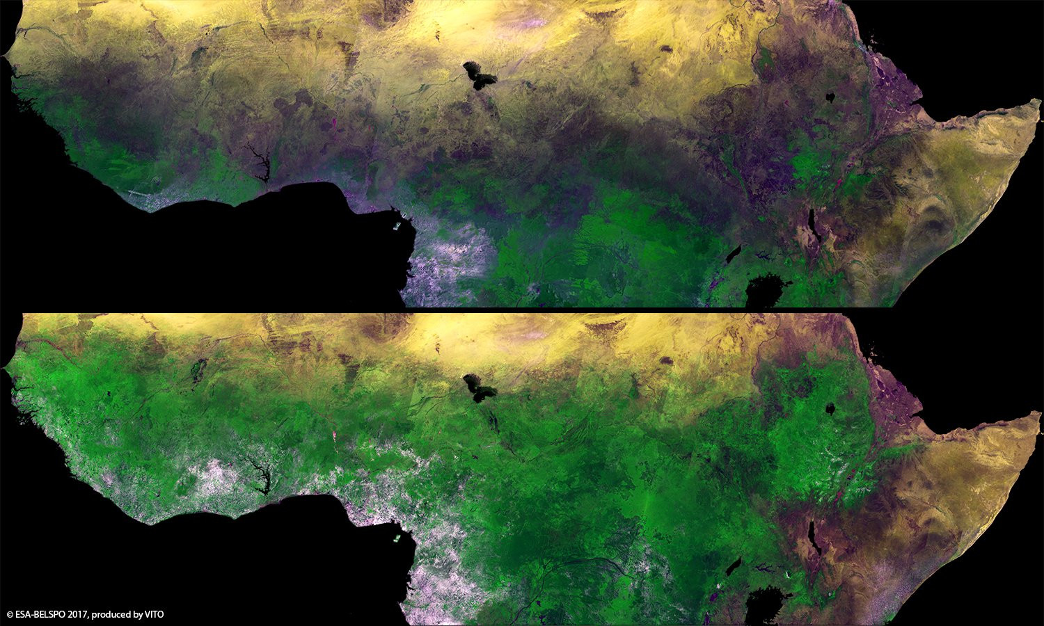
Showcased at GEO Week 2019, the first DE Africa datasets are now available to the public. Users can visualize and analyse surface water across Africa using the provisional Water Observations from Space datasets available in the DE Africa Map. This data is presented in an “easy to consume” format to help non-traditional users of EO data to use this information to improve the management of water resources. Stay tuned for more updates on these collaborations and the work of DE Africa as more datasets become available.
Later this year, the GEO community will be heading to Africa for GEO Week 2020 to be held in Port Elizabeth, South Africa in November 2020.
Follow us on:


