


Blog / James Norris / April 2, 2020
Two years ago, I joined the Group on Earth Observations (GEO) Secretariat on secondment from Ordnance Survey, the National Mapping Agency of Great Britain. My role required me to lead and coordinate one of GEO’s Engagement Priority areas, namely the Sendai Framework for Disaster Risk Reduction. (You can read more about what I hoped to achieve in my first blog here).
Now that my secondment is coming to an end, I would like to reflect briefly on the value of Earth observation information that is now being more readily included in Disaster Risk assessments and some of the (very positive) outcomes of my secondment to GEO.
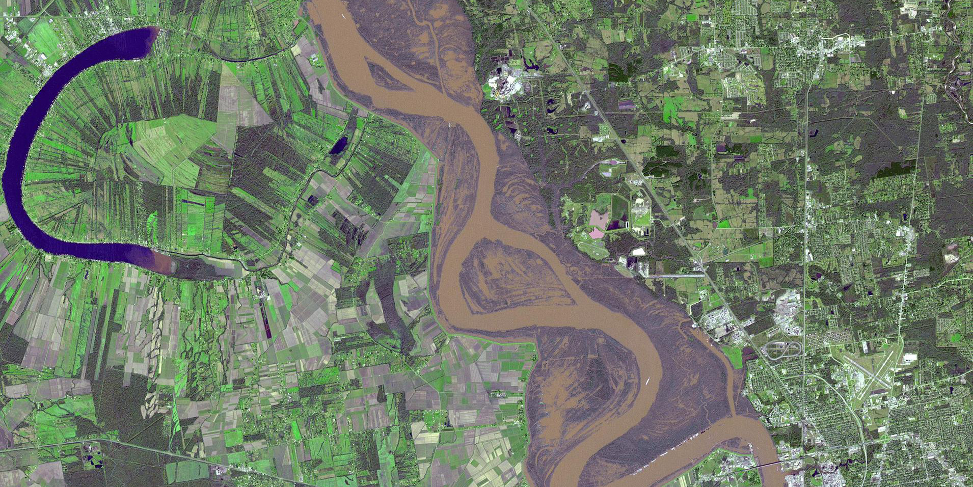
Today, the disaster community is increasingly aware of the value of space-based information in disaster settings, both in planning and recovery. GEO has set this forth as a key priority, and my focus was to see how Earth observations (EO) are and can be used to inform policy and decisions around risk reduction.
This included outreach and advocacy on EO, sharing and showcasing developments in technology and data. It included developing partnerships and engaging new partners in the disaster reduction field who may have not heard of GEO. I have found that the past two years has helped me to learn new skills and share opportunities, and it also included helping to shape and develop programmes of work that will continue to grow and flourish into the future.
I have found that most people know that Earth observations data can be vitally important for risk reduction and saving lives in a crisis. In addition, there is a growing awareness that geospatial information can be used as a powerful tool and an enabler for societal and economic growth. What is still missing, are concrete actions that link policies and programmes that enable the data and information in a timely and systematic manner.
The data from Earth observation helps policy makers understand where people are (including information on population density, the location of vulnerable populations and other socio-economic indicators.) EO also shows the ways in which the environment around them is changing, and this is increasingly important to global sustainability and response in times of change.
Taken together, EO offers a powerful set of information and tools in times of disasters.
Data helps us in such a wide range of sectors from understanding pollutants in our oceans to forecasting crop yields, from understanding and managing energy networks to responding to a crisis. Earth observations, whether space based or in situ, have the power to change and save lives. I’ve been fortunate that over the last two years I’ve been able to contribute to this.
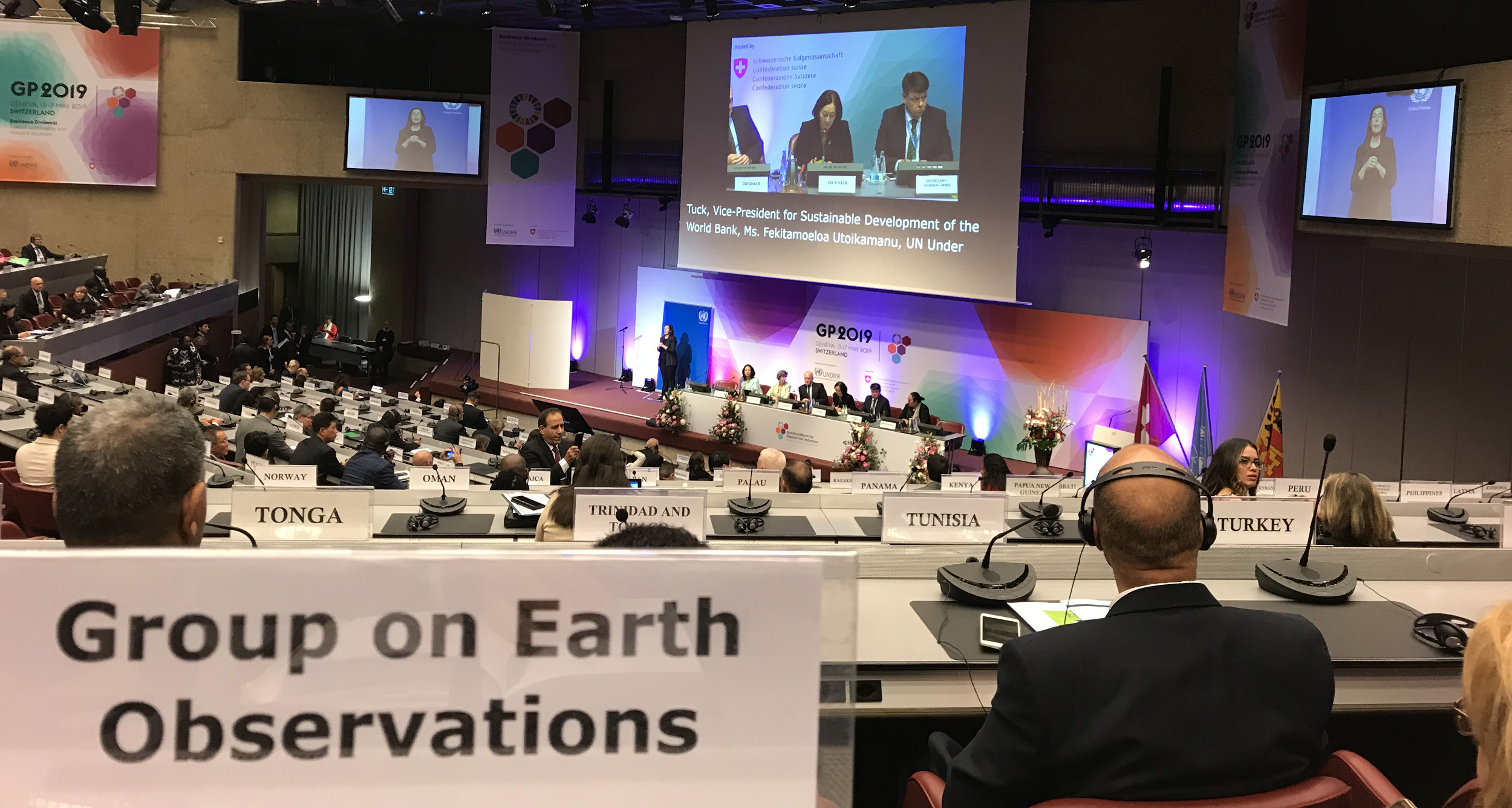
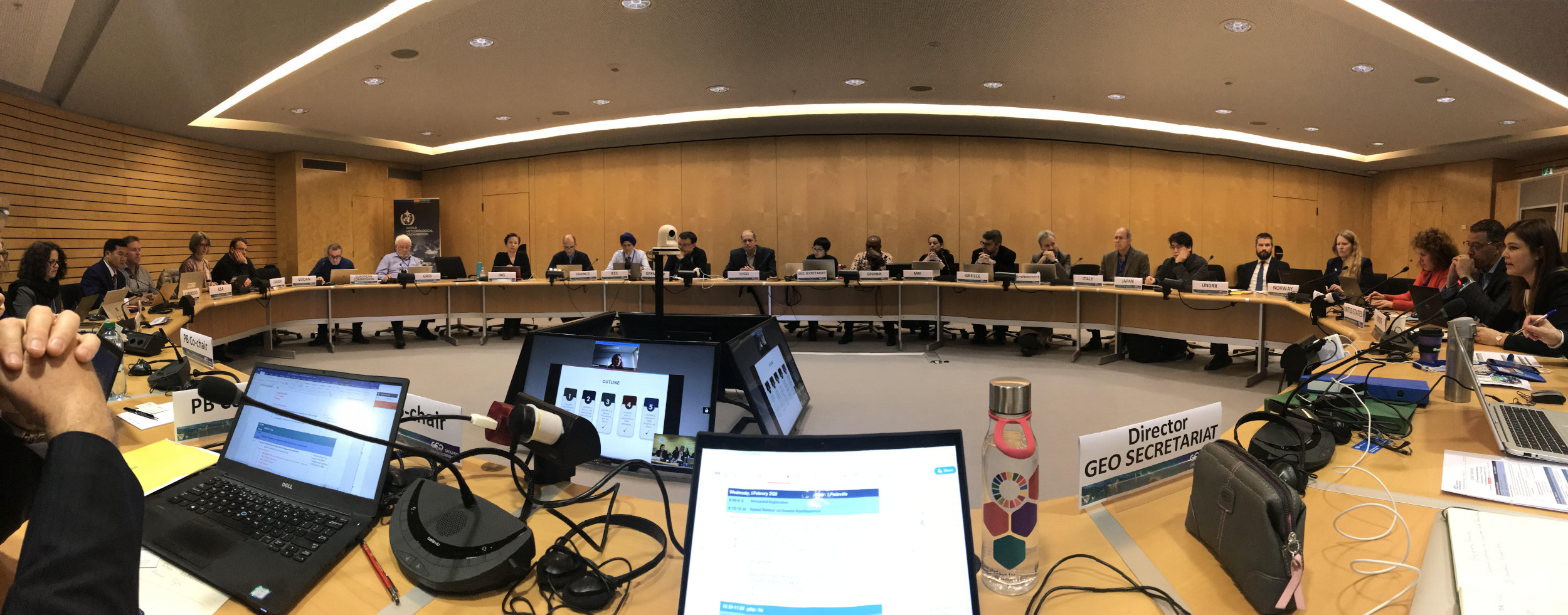
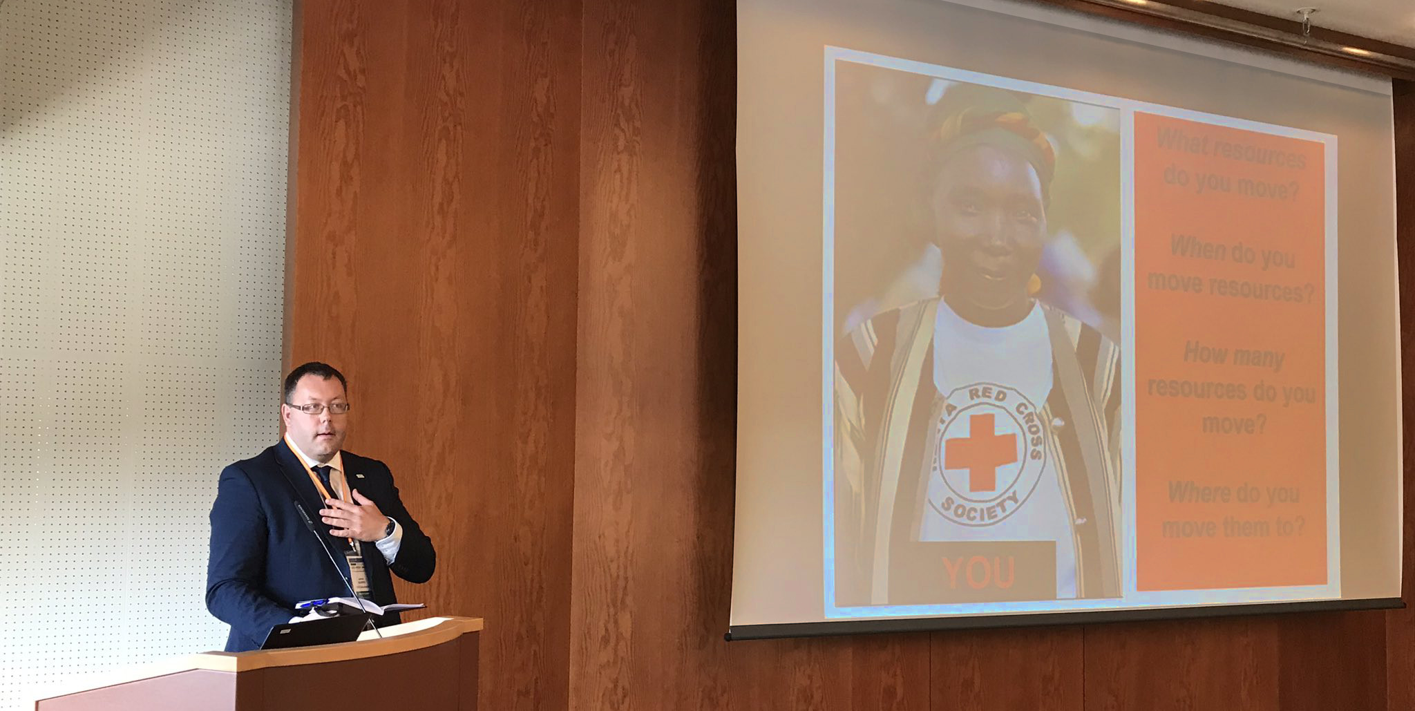
Complex and systemic risk – as discussed by the United Nations Office of Disaster Risk Reduction in the Global Assessment Report 2019 – will require complex and challenging solutions. All countries, nations and communities are facing risks. Some more starkly than others, but we are all affected by risk. This is why I’m really pleased that GEO has set up a Disaster Risk Reduction Working Group to bring together data producers, Earth observation specialists, risk reduction experts, NGOs and international bodies to work together to ensure that EO is used to impact disaster planning, recovery and risk reduction. This working group is currently open for new members until April 30 and the details to join are here.
By taking small steps, and working together in partnerships, sharing data, and discussing ideas, and even through challenging one another’s assumptions or approaches, I believe that we can take on these complexities and reduce risk for all.
GEO continues to impact international policy mandates, such as the UN 2030 Agenda, the Paris Agreement, and the Sendai Framework. One of the things that I have observed is that GEO, as a convening body, has shown that the interconnectedness of people, systems, and the environment is essential to achieving some of these policies and goals. This is something that I’ve been proud to support within GEO.
In these increasingly uncertain times, who knows what the future holds, but I hope that our paths cross again in the future.
A replacement is being organised to coordinate all DRR activities at the GEO Secretariat, however in the meantime Steven Ramage is handling this Engagement Priority, and he can be reached at: sramage@geosec.org

From 2018 to 2020, James Norris was the policy lead at the Group on Earth Observations (GEO) focused on improving the access to, and use of, Earth observations for disaster risk management.
James is a Fellow of the Royal Geographic Society, and works across several domains in the geospatial information sector. Most recently, using Earth observations to help nations make progress on the Sendai Framework. James has written several international policy documents including the UN-GGIM’s ‘Future Trends in Geospatial Information Management: 5-10-year vision’ and is a contributing author to the UNDRR ‘Global Assessment Report on Disaster Risk Reduction 2019’ where he wrote about ‘Changes in technology and data sharing.’
Follow us on:


