


Blog / Caroline Akoth / June 8, 2020

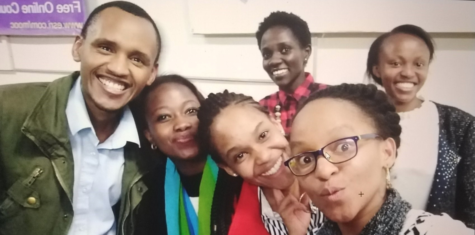
Women in GIS Kenya (WIGIS KE) is a community of innovators and a network of talented individuals who are using their technical geospatial skills for social good and causes. They are a champion for women in the field of Earth observation (EO) and Geospatial Information Systems (GIS). Through networking events, mentoring and online challenges, they are helping to bridge the gender divide and to advance the great strides made by women in GIS today.
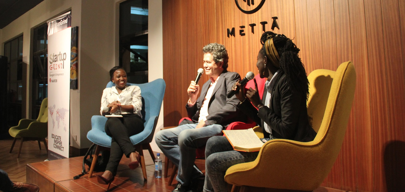
The Group on Earth Observations (GEO) was invited to take part in an online conversation with WIGIS KE. They asked Steven Ramage, Head of External Relations at the GEO Secretariat, to take part as a guest curator of their Twitter handle @WiGISKe. This was an opportunity for the Women in GIS Kenya community to interact, learn and benefit from the global network of GEO.
Part of the objectives of having GEO host as the curator for the week was to increase user engagement for the Women in GIS Kenya Community (the number of Twitter followers increased by 10% in 3 days - almost at 1000!) as well as increase information sharing between geospatial communities. During the curated session, Steven highlighted examples of work by other organisations to support gender inclusivity in the global geospatial space and a lively conversation drew in people from around the world to learn more about WIGIS KE.
As part of the curation, Steven Ramage hosted an “Ask me Anything” session, tagged with #RamageAMA, through which he interacted with users and provided insights on topics such as innovations in EO, starting out in the geospatial field and new and exciting opportunities in the field for youth and women to get involved. He’s subsequently mentioned that GEO now has an Equality, Diversity and Inclusion (EDI) working group.
One of the key takeaways was that GEO is a very open community - open data, open standards and open science. It’s also open for participation through national GEO organisations, for example working in different countries with GEO members or partners. The GEO Work Programme is the main place for such engagement, as well as GEO Week meetings and the GEO Virtual Symposium happening June 15-19.
Here are some highlights from the online conversation:
Follow @WiGISKe on Twitter for insights into the conversation.
More about Women in GIS Kenya
The Women in GIS Kenya Journey started in 2017 after having hosted the 1st ever meet up for the geospatial community in Kenya. It was while hosting the meet up that co-founders Sophia Murage (Chief Technical Director), Caroline Otiwa (Operations and Advocacy Director) and Yariwo Kitiyo (Strategy and Development Director) figured that this needed to be a frequent occurrence but to host a lady in the next meet up. The realisation that it wasn’t as easy to get in touch with experienced ladies in the field for a session led to the birth of Women In GIS. Kenya. A platform that has over the years transformed the geospatial industry in Kenya through 3 pillars: To Network, Build Capacity and to champion the use of data to achieve Gender Equality in Kenya.
WIGIS KE currently has a membership of over 500 people made up of students and professionals in Kenya. Through various Data Visualization Challenges, they have reached and impacted over 1500 people through social media campaigns and outreach. Since championing for women is the group’s biggest focus, every quarter the group offers student-focused technical training events, hosts a rolling mentorship program and plans public events in line with their objectives.
As a current project, the group is running a #DataViz Challenge dubbed #CACXDataviz to commemorate cervical cancer awareness month, which will use Spatial and Non-spatial data to elevate discussions about screening and treatment of cervical cancer. Later in the year, the group will launch a Hackathon dubbed #Hack4her that will focus on finding solutions for female genital mutilation, Gender-Based Violence and Sexual Reproductive Health.
Learn more and get involved here.

Caroline Akoth is a Spatial Data Scientist and Co-Founder of Women in GIS, Kenya. She has over 7 years’ experience in the Geospatial field and has supported the application of data in effective decision making in various industries such as Health and urban planning. Most recently, Caroline has supported the United Nations Human Settlement Programme in the data collection, analysis and visualization of SDG indicators 11.2.1, 11.3.1 and 11.7.1. Previously, she supported the use of data and analytical tools to ensure effective and efficient delivery of Health Services.
At Women in GIS, Kenya (WiGISKE), Caroline is the Operations and Advocacy Lead, a role that ensures that the organization accomplishes its mandate to continue to use data to champion for gender equality.
Caroline has been a speaker at Spatial Data Forums such as the internationally acclaimed “Free and Open Source Software for Geospatial” (FOSS4G) conference, The State of the Map Conference (SOTM), an annual conference for Mappers, and the United Nations Global Geospatial Forums.
Follow us on:


