


Blog / Diana Mastracci / June 19, 2020
The Group on Earth Observations is proud to announce the winning teams from the GEO Indigenous Hack4Covid.
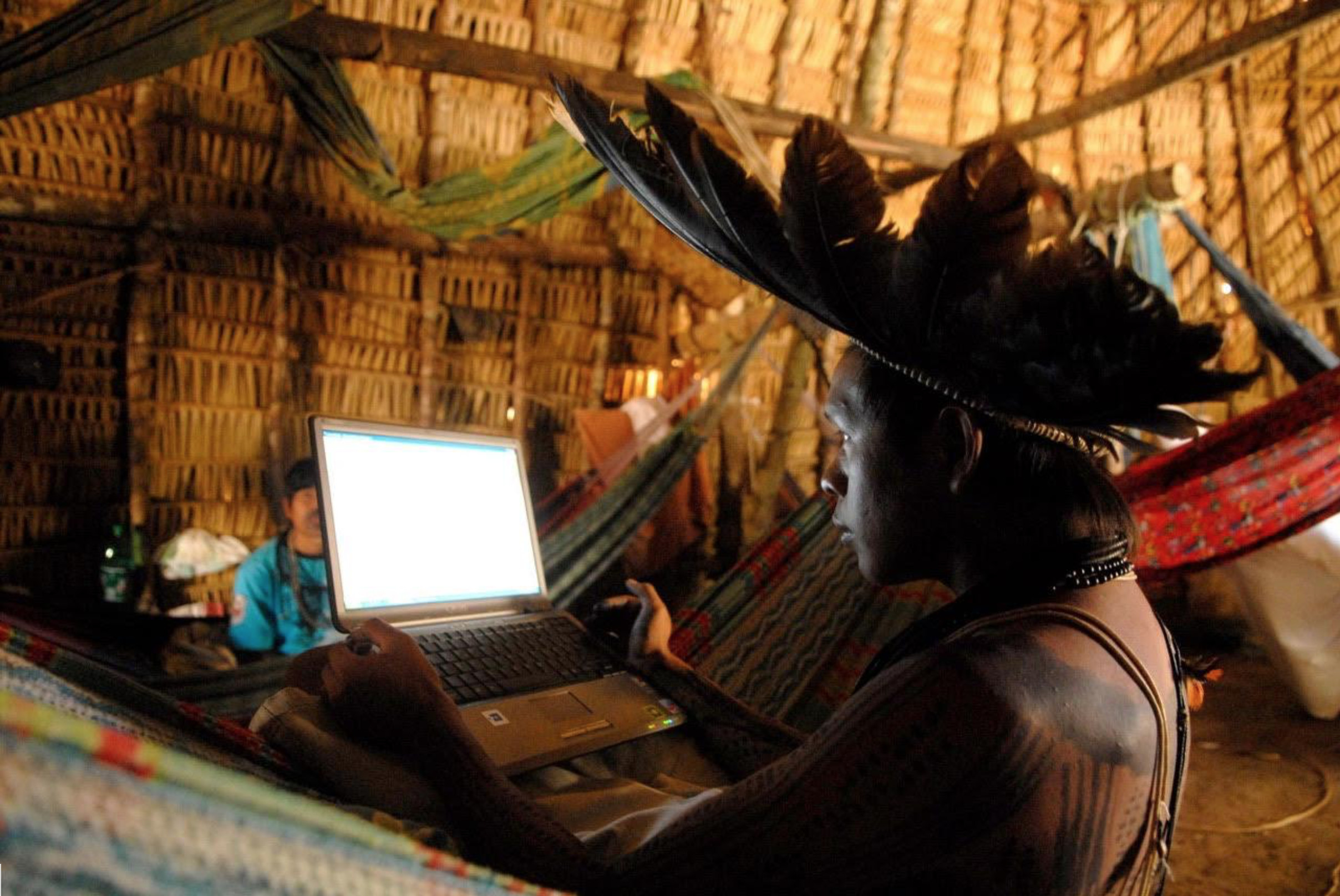
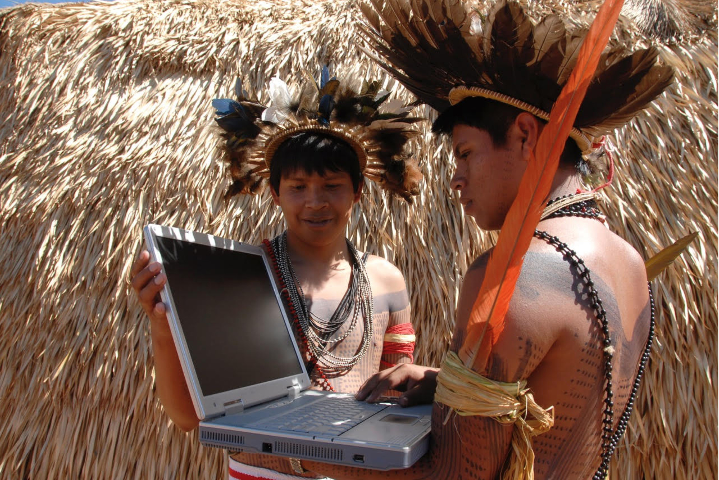
From June 5-7 teams joined the GEO Indigenous Alliance and Indigenous leaders and communities from around the world to produce solutions to crowdsourced challenges developed through a process of co-design. The project involved curating a series of virtual hackathons in various Indigenous and under-represented communities with the intent of co-designing locally relevant EO-based challenges that are culturally appropriate to Indigenous beliefs and conceptions about diseases. More information about the Hackathon can be found here.
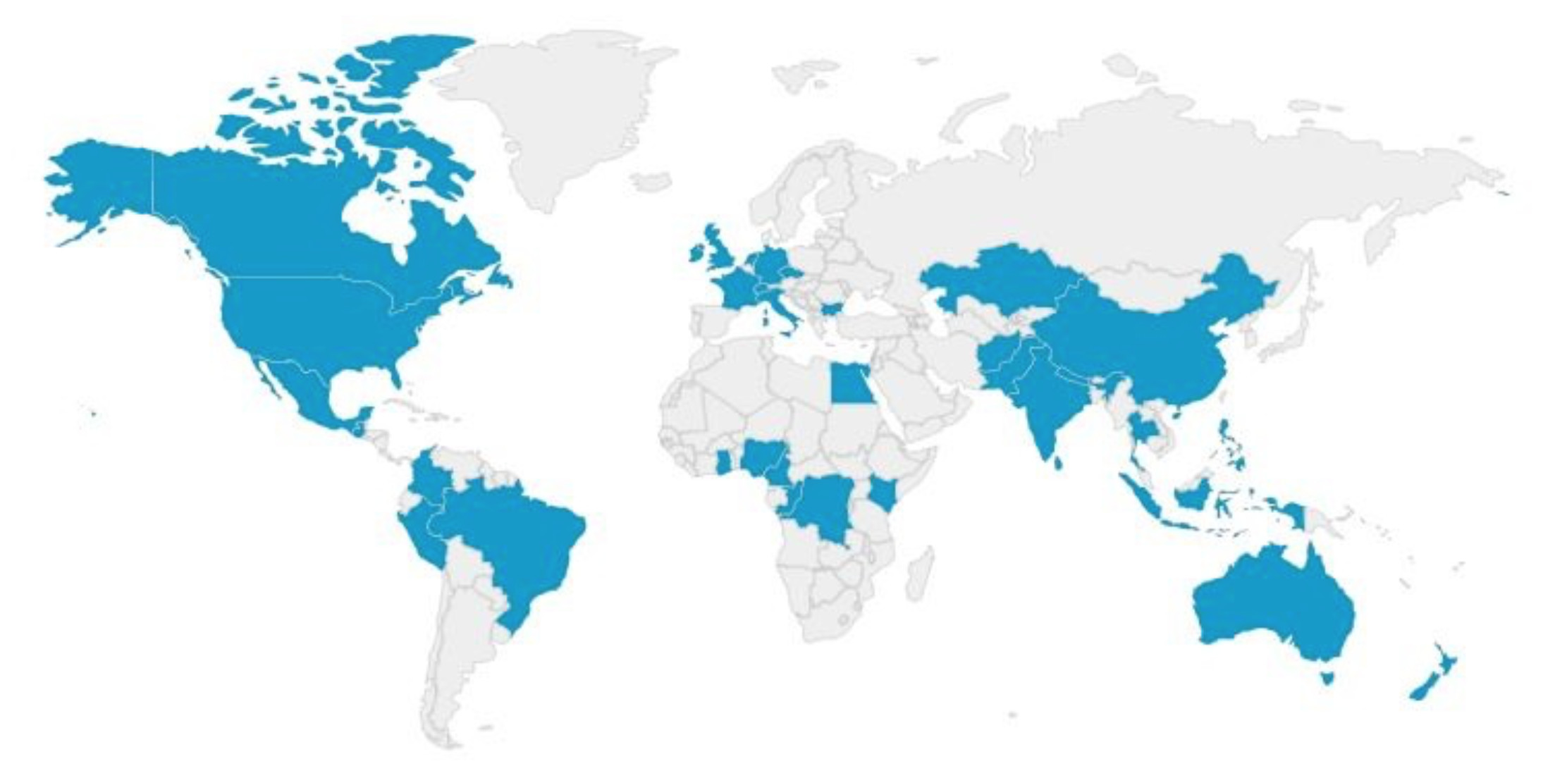
From Peru to Ghana and all the way to New Zealand, 146 participants signed up from 33 different countries. We also had participants from First Nations, Native Hawaiians and Indigenous People from Oaxaca, Mexico.
The event did not only attract the typical “hacker”, with a remote sensing/GIS and coding background, but also experts in Indigenous GIS, research and community engagement, Indigenous rights, web-mapping/apps development, art, anthropology, design and mechanical engineering. Half of the participants were working professionals with over 10 years of working experience, but we also had hackers who were retired professionals, research scholars, academics and even high school students! This incredible mix of knowledge, skills and experience culminated in the co-development of some very interesting and innovative solutions and GEO is proud to announce the winning teams:
First Prize Winners: Team Visibilidade (translated as Visibility) and the Symbols Maps Team
The Symbols Maps Team solved a challenge submitted by Titus Letaapo called The Namunyak/blessed App. The aim of the challenge was to develop an app that will allow the Samburu Tribe in Northern Kenya to build their own culturally relevant map. Members of the Symbols Maps team included: Lucandrea Mancini (Italian rocket scientist based in Italy), Yoanna Dimitrova (Bulgarian archaeology and anthropology student based in the UK), Mirosława Alunowska (Mexican Engineer currently working as a data analyst in the UK) and Nicolas Marin (Ecologist from Colombia based in Australia). Learn more about their winning solution here.
Also recognized in first place, Team Visbilidade solved the Visibilidade challenge submitted by Claudinete Cole de Souza to develop a visualization tool that will allow the Quilombola community to tell a story of how COVID19 is affecting their community in Brazil. Members of team Visbilidade included: Douglas Mbura (Founder and Chief Technology Officer of Geo-Appsmith from Kenya) and Rasha Elnimeiry, (Epidemiologist and GIS data specialist from Sudan). Their amazing solution can be found here.
Second Place Winner: Terrastories Map
Coming in as the runner-up in the Hackathon, the Terrastories: Lakhota Makha was submitted by Rudo Kemper from the US in response to the Lapi Wowapi Challenge to develop an app that will support the transmission of knowledge between the Elders and the youth whilst advancing the use of the Lakota language via digital stories that have a connection with the landscape. This challenge was submitted by James Rattling Leaf Sr. from the Rosebud Sioux Tribe, South Dakota, US.
Third Place Winner: Journey to the Market App
As a final winner, the Ondjila ya Sankoni (Journey To The Market) App was submitted by Wilhelmina Nekoto from Namibia in response to the Sokoni app/market challenge to develop an app that will allow the Samburu Tribe in Northern Kenya to sell and purchase livestock without having to go to the market. This challenge was submitted by Titus Letaapo from the Samburu Tribe in Kenya.
As part of the GEO Indigenous Hack4Covid event, the overall winning team and the Indigenous community that submitted the challenge will receive, as a prize, mentorship from the Google Earth Outreach Team and from the Indigenous owned consultancy The Firelight Group. Additionally, they will receive mentorship on the protection of Indigenous/traditional knowledge and on the CARE Principles of Indigenous Data Governance by the Global Indigenous Data Alliance. The Indigenous community that submitted the challenge to the winning team will receive a voucher to purchase mobile phones or laptops from the Firelight Group. The winning teams will also be featured in the Geospatial Insights newsletter of the Knowledge Transfer Network and in an upcoming feature on the GEO Observations Blog.
The challenges that have not been solved will remain open until the Indigenous communities find a suitable solution. We will also be adding more challenges from other Indigenous communities. And we will be adding more challenges co-designed with other Indigenous leaders from around the world.
A big thank you to the GEO Indigenous Alliance and to all the Indigenous leaders who participated in the hackathon and co-designed a challenge, namely: Claudinete Cole de Souza from the Quilombola community in Brazil; James Rattling Leaf Sr. from the Rosebud Sioux Tribe in South Dakota; Mario Vargas Shakaim from the Shuar Nation in the Ecuadorian Amazon; Titus Letaapo from the Samburu Tribe in Kenya; and Leo Cerda from the Kichwa Nation in the Ecuadorian Amazon. A big thank you also to our sponsors who will provide mentorship to the winning team: The Firelight Group, Google Earth Outreach Team, and the Global Indigenous Alliance, and to Guaana that provided us free use of its platform to host the challenges. Connecting with the Indigenous leaders in Brazil wouldn't have been possible without the support of Vasco Van Roosmalen from ECAM.
We are also very grateful to all the mentors: Margaret Gold (European Citizen Science Association), Brian Fuchs (The Mobile Collective), Raleigh Seamster (Google), Luca Budello (Knowledge Transfer Network), Jorge Vazquez (NASA JPL), David Jensen (UNEP), Cynthia Annett (University of Arkansas), Alessandra Divizia (Art Director), Steve DeRoy (The Firelight Group), Gautam Dadhich (Asian Institute of Technology) Vasco Van Roosman (ECAM), Alex Muramoto (Google), Stephanie Russo Carroll (University of Arizona), Juan Pablo Sarmiento Barletti (The Center For International Forestry Research), Bob Banik (Canadian Space Agency), Rubert Allen (Humanitarian OpenStreetMap) and to our volunteers: Sanjana Paul (Earth Hacks), Gautam Vashist (The Asian Institute of Technology) and Jack Holweger (Earth Hacks).
Diana Mastracci is a researcher at the University of Oxford passionate about finding creative ways to maximize the impact of current technologies to empower social change initiatives among indigenous communities. She has co-designed, together with the Arctic youth, Elders and scientists’ various innovative hackathons and citizen science projects at the interface of traditional and scientific knowledge. She has conducted fieldwork amongst the Iñupiat community in the Alaskan Arctic as well as with the Nenets reindeer herders in the Russian Arctic.
She has worked at the European Space Agency, NASA’s Jet Propulsion Laboratory, the University of Oxford, Citizen Cyberlab, was a visiting scholar at the Cartographic Research Centre at Carleton University and a visiting student at St. Petersburg State University. Diana holds an MA with joint Honours in Social Anthropology and Russian from the University of St Andrews, an MSc in Biodiversity, Conservation and Management from the University of Oxford and a Diploma in Documentary Filmmaking from the EICTV in Cuba.
Follow us on:


