Blog / Rafael Monge & Becky Chaplin-Kramer / October 19, 2020


The Ministry of Environment and Energy of Costa Rica and the Natural Capital Project are inviting the international GEO community to participate in the webinar: “Natural wealth of Costa Rica: mapping and modeling biodiversity and its contributions to society using Earth observations.”
This webinar will describe how spatial data and modeling of ecosystem services can support decision making processes, at both the national and local levels.
The magnitude and pace of global change demands rapid assessment of nature and its benefits to people. As governments, businesses, and lending institutions are increasingly considering investments in natural capital as a strategy to meet their operational goals and society’s demands for sustainable development, the importance of actionable information on ecosystem services has never been greater.
Rapid improvements in spatial data, computation, and visualization present new opportunities for ecosystem service modeling—especially in terms of its integration with Earth observations (EO) from satellite remote-sensing. EO can provide near real-time information of the current states of ecosystems at global extents, but cannot necessarily predict benefits provided to people or how these may change under different management or other drivers. Ecosystem services (ES) models are designed to do exactly that but are often hindered by lack of data at the appropriate spatial or temporal resolution. EO can help fill these gaps. Scaling up and integrating EO in ES modeling can provide more relevant, accurate, and readily available information for decisions. There are a growing number of opportunities for such science to inform investments in nature to support human well-being around the world.
This project is aiming to advance the use of satellite information to predict patterns of biodiversity at different levels, providing more continuous coverage (across both time and space) of biodiversity than is possible through data collection on the ground, increasing the understanding of the relationship between biodiversity and ecosystem functions and services.
This webinar will present preliminary results from a project funded by NASA’s A.50 GEO Work Programme, advancing the modeling of three focal ES that are well studied and important to livelihoods and cultural values in Costa Rica: (1) water quality regulation, (2) crop pollination for boosting agricultural yields and (3) ecotourism. Linking biodiversity and ecosystem services is an important step forward for support of decisions on conservation of biodiversity and sustainable development. The results of this work will be used to produce generalized models for linking Earth observations, biodiversity and ecosystem services at local and regional scales. The models can be applied across Costa Rica, and potentially extended to other parts of the world.
To register to this free webinar, please use this link.
The webinar will take place on the 27th of October at 9:00 CST / 8:00 PDT / 17:00 CET
About the authors

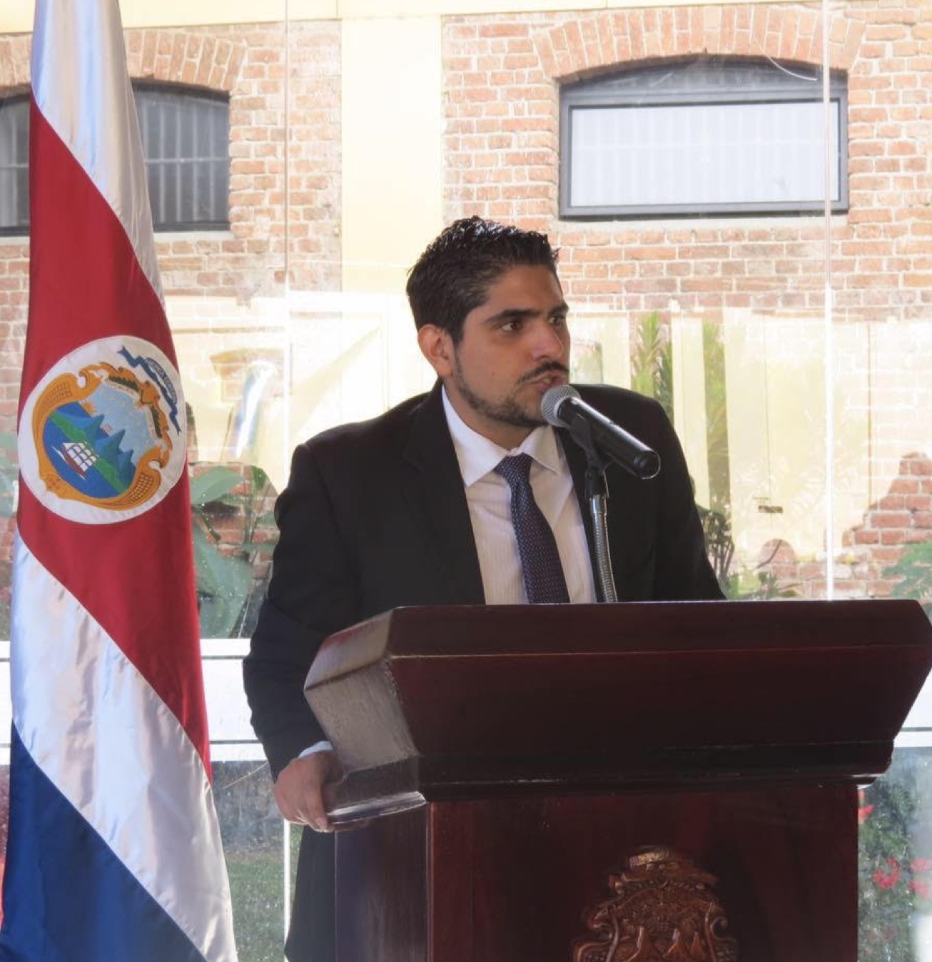
Rafael Monge is an economist with broad experience in different fields related to environmental information, including the current development of the National Land Use, Land Cover and Ecosystems Monitoring System (SIMOCUTE). He was part of the team that produced and published the first State of the Environment Report of Costa Rica in 2018 and has been supporting the development of environmental accounts, the accession process of Costa Rica to the OECD, and the generation of Sustainable Development Goals (SDG) environmental indicators for the country. Currently, he is the Director of National Center of GeoEnvironmental Information (CENIGA), a technical unit of the Ministry of Environment and Energy in Costa Rica aimed at promoting adequate management of national environmental information.

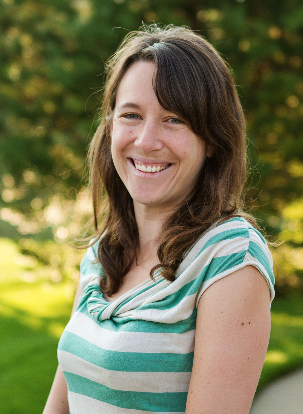
Becky Chaplin-Kramer is a lead scientist for the Natural Capital Project, co-appointed at Stanford University and the University of Minnesota. Her research focuses on science priorities shared by both institutions: global ecosystem service assessment, linking earth observations and ecosystem service modeling, and improving our understanding of ecosystem service flows to, from, and mediated by agricultural systems. Becky is also a Coordinating Lead Author on the upcoming Values Assessment for the Intergovernmental Science-Policy Platform on Biodiversity and Ecosystem Services (IPBES) and a member of the Expert Working Group Consulting on NASA Biological Diversity and Ecological Forecasting Programs. She earned her PhD in Environmental Science, Policy and Management from University of California, Berkeley, and an MS and BS in Earth Systems from Stanford.
Thank you for your subscription to the GEO Week 2019 mailing list.