Blog / Ilan Kelman / November 5, 2020


Earth observations gather data about the planet’s systems. They have become increasingly sophisticated through both remote sensing and in situ instruments, supporting our abilities to monitor and assess the state of and changes in the environment.
These Earth observations show how rapidly we are changing the planet and society. From population densities to hurricane intensities, our activities are substantially influencing disaster risks. Do these data help us identify and address fundamental causes of disasters?
Disaster risk comprises hazard and vulnerability. Hazard might be an earthquake, storm, or landslide, among many others. No doubt exists that human-caused climate change is rapidly leading to rising sea levels, acidifying oceans, and changing weather. We reconstruct past aeons to illustrate the extent and speed of today’s shifts.
Disasters, though, are not caused by hazards, but by vulnerabilities, referring to where people live, how they live, their livelihoods, their infrastructure, and their exposure to hazards. Changes to vulnerabilities also are swift, wide-scale, and observable. Forced population movements, ecosystem losses, and expanding precarious settlements are all being measured, painting a grim picture.
Putting people anywhere without adequate infrastructure, services, and support produces disasters—even without an extreme environmental hazard. Consequently, we prefer to avoid the term “natural disaster” since disasters, coming from vulnerabilities, are human-caused.
Do the observable vulnerability numbers—of people, ecosystems, infrastructure, and livelihood activities—complete the disaster risk portrait? Can Earth observations capture the long-term political processes creating and perpetuating vulnerabilities, including why people are in exposed situations?
If we could catch the fear of assault in an evacuation centre, then we might be able to measure how many people make gender-based decisions to stay at home as the storm bears down or the volcano erupts, because they feel unsafe in the shelter. If we had real-time counts of homeless people, then we would see that they are typically forgotten as a river floods their town.
Which satellite or drone could track the ethnicity-, caste-, or disability-differentiated experience of people job hunting to support their family, to purchase insurance, and to build up savings, so that they can afford a tsunami or tornado? Do motion sensors follow how different genders move through cities, giving people diverse understandings of safe places and routes in various hazard scenarios?
Disasters emerge from vulnerabilities which arise from the politics of how we treat each other. We must collaborate to apply Earth observations creatively for investigating the baseline causes of who makes who vulnerable, why they do so, and how we can change for the better. This might be remotely tracking evacuations, or continuing observations of people’s regular movements, but aiming to differentiate by demographic characteristics (subject to privacy protection).
Correlations between environmental changes, whether sudden tremors or long-term air temperature variations, and people’s behaviour over different time scales would also contribute to better understanding our responses to hazards in order to better tackle vulnerability. Integrating real-time Earth observations with data of people’s actions would help to ensure that our focus remains on vulnerabilities without neglecting the importance of understanding and monitoring our planet’s systems.
About the author

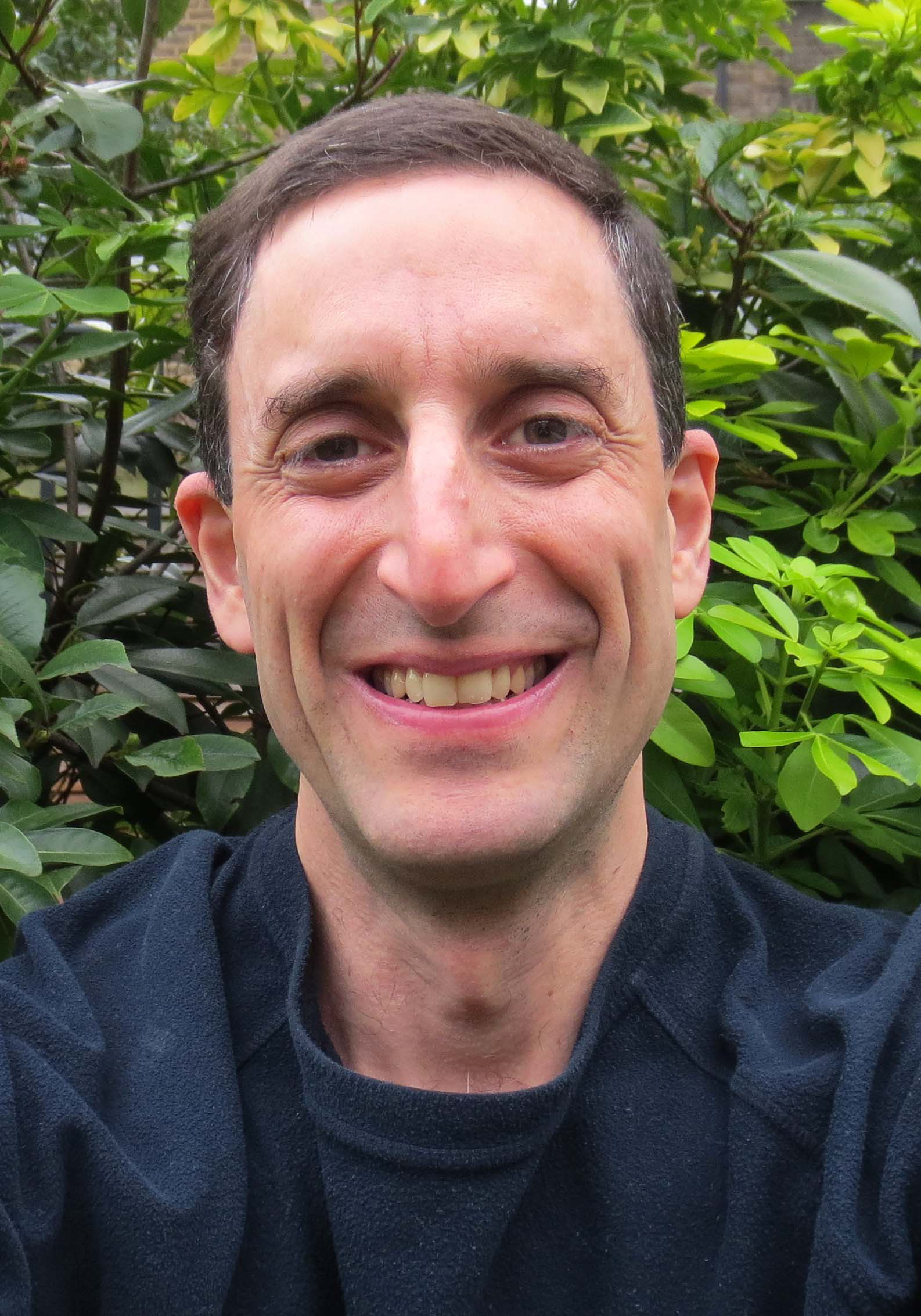
Ilan Kelman http://www.ilankelman.org and Twitter/Instagram @ILANKELMAN is Professor of Disasters and Health at University College London, England and a Professor II at the University of Agder, Kristiansand, Norway. His overall research interest is linking disasters and health, including the integration of climate change into disaster research and health research. That covers three main areas: (i) disaster diplomacy and health diplomacy http://www.disasterdiplomacy.org ; (ii) island sustainability involving safe and healthy communities in isolated locations http://www.islandvulnerability.org ; and (iii) risk education for health and disasters http://www.riskred.org
Thank you for your subscription to the GEO Week 2019 mailing list.